Area Overview for RH4 3DH
Photos of RH4 3DH
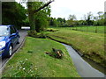
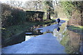
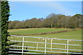
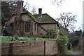
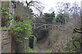
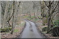
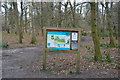
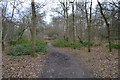
100 photos from this area
Area Information
Key information about the RH4 3DH including its size, population, and administrative classification.
- Area Type
- Postcode
- Area Size
- 3.8 hectares
- Population
- 1845
- Population Density
- 2246 people/km²
House Prices in RH4 3DH
21
Properties
£444,250
Average Sold Price
£210,000
Lowest Price
£725,000
Highest Price
Showing 21 properties
| Address | Type | Beds | Baths | Last Sale Price | Last Sale Date | |
|---|---|---|---|---|---|---|
| 54 West Bank, Dorking, RH4 3DH | Semi-detached | 3 | 1 | £628,000 | Feb 2024 | |
| 30 West Bank, Dorking, RH4 3DH | house | 3 | 1 | £655,000 | Jan 2024 | |
| 52 West Bank, Dorking, RH4 3DH | house | - | - | £725,000 | Apr 2021 | |
| 62 West Bank, Dorking, RH4 3DH | Semi-detached | 3 | 1 | £516,500 | Jan 2020 | |
| 48 West Bank, Dorking, RH4 3DH | house | 3 | - | £365,000 | Jul 2011 | |
| 58 West Bank, Dorking, RH4 3DH | house | 3 | - | £390,000 | May 2011 | |
| 46 West Bank, Dorking, RH4 3DH | Detached | 3 | 2 | £425,000 | Aug 2010 | |
| 36 West Bank, Dorking, RH4 3DH | Detached | - | - | £475,000 | May 2007 | |
| 42 West Bank, Dorking, RH4 3DH | Detached | - | - | £380,000 | Apr 2006 | |
| 40 West Bank, Dorking, RH4 3DH | Detached | - | - | £460,000 | Feb 2006 |
Page 1 of 3
Energy Efficiency in RH4 3DH
Amenities
Schools
| Rank | School | Type | Entry gender | Ages |
|---|
Explore more schools in this area
Go to Schools tabDemographics
Household Size
One person
most common
Accommodation Type
Houses
most common
Tenure
69
majority
Ethnic Group
White
most common
Religion
N/A
most common
Household Composition
N/A
most common
Age
47
median
Adults (30-64 years)
most common
Household Deprivation
N/A
with no deprivation
NS-SEC
47
in Lower managerial occupations
Explore more demographic insights in this area
Go to Demographics tabPlanning
Planning Constraints
- Flood RiskPremium
- Ramsar Wetland SitesPremium
- Area of Outstanding Natural BeautyPremium
- Protected Nature ReservePremium
- Protected WoodlandPremium