Area Overview for RH4 1DQ
Photos of RH4 1DQ
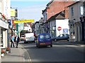
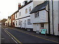
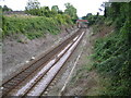
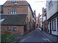
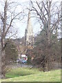
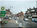
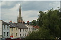
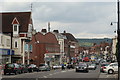
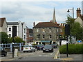
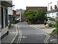
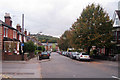
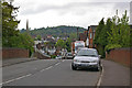
100 photos from this area
Area Information
Key information about the RH4 1DQ including its size, population, and administrative classification.
- Area Type
- Postcode
- Area Size
- 8918 m²
- Population
- 1405
- Population Density
- 1178 people/km²
House Prices in RH4 1DQ
32
Properties
£289,516
Average Sold Price
£140,000
Lowest Price
£515,000
Highest Price
Showing 32 properties
| Address | Type | Beds | Baths | Last Sale Price | Last Sale Date | |
|---|---|---|---|---|---|---|
| 23 Myrtle Road, Dorking, RH4 1DQ | Terraced | 2 | 1 | £475,000 | Dec 2024 | |
| 22 Myrtle Road, Dorking, RH4 1DQ | Terraced | 2 | 1 | £424,000 | Oct 2023 | |
| 25 Myrtle Road, Dorking, RH4 1DQ | house | - | - | £472,000 | Apr 2023 | |
| 18 Myrtle Road, Dorking, RH4 1DQ | Terraced | 3 | 2 | £515,000 | Sep 2022 | |
| 3 Myrtle Road, Dorking, RH4 1DQ | Retail | 2 | 1 | £423,500 | Aug 2022 | |
| 17 Myrtle Road, Dorking, RH4 1DQ | Terraced | 2 | 1 | £372,000 | Feb 2020 | |
| 4 Myrtle Road, Dorking, RH4 1DQ | Terraced | 3 | - | £375,000 | Oct 2014 | |
| 26 Myrtle Road, Dorking, RH4 1DQ | house | 3 | - | £250,000 | Mar 2012 | |
| 9 Myrtle Road, Dorking, RH4 1DQ | house | 2 | - | £265,000 | Feb 2012 | |
| 29 Myrtle Road, Dorking, RH4 1DQ | house | 3 | - | £352,000 | Aug 2011 |
Page 1 of 4
Energy Efficiency in RH4 1DQ
Amenities
Schools
| Rank | School | Type | Entry gender | Ages |
|---|
Explore more schools in this area
Go to Schools tabDemographics
Household Size
One person
most common
Accommodation Type
Houses
most common
Tenure
56
majority
Ethnic Group
White
most common
Religion
N/A
most common
Household Composition
N/A
most common
Age
47
median
Adults (30-64 years)
most common
Household Deprivation
N/A
with no deprivation
NS-SEC
46
in Lower managerial occupations
Explore more demographic insights in this area
Go to Demographics tabPlanning
Planning Constraints
- Flood RiskPremium
- Ramsar Wetland SitesPremium
- Area of Outstanding Natural BeautyPremium
- Protected Nature ReservePremium
- Protected WoodlandPremium