Area Overview for RH3 7HX
Photos of RH3 7HX
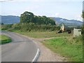
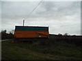
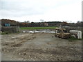
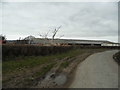
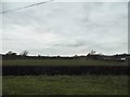
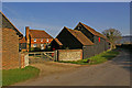
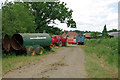
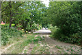
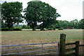
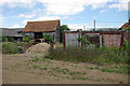
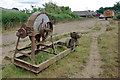
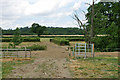
21 photos from this area
Area Information
Key information about the RH3 7HX including its size, population, and administrative classification.
- Area Type
- Postcode
- Area Size
- 1.4 hectares
- Population
- 1286
- Population Density
- 1900 people/km²
House Prices in RH3 7HX
30
Properties
£339,566
Average Sold Price
£86,500
Lowest Price
£642,500
Highest Price
Showing 30 properties
| Address | Type | Beds | Baths | Last Sale Price | Last Sale Date | |
|---|---|---|---|---|---|---|
| 6 Tynedale Road, Strood Green, RH3 7HX | Detached | 3 | 1 | £580,000 | Jul 2022 | |
| 58 Tynedale Road, Strood Green, RH3 7HX | house | - | - | £520,000 | Apr 2021 | |
| 26 Tynedale Road, Strood Green, RH3 7HX | Semi-detached | 3 | 2 | £465,000 | Jun 2020 | |
| 8 Tynedale Road, Strood Green, RH3 7HX | Semi-detached | 4 | 2 | £625,000 | Sep 2018 | |
| 48 Tynedale Road, Strood Green, RH3 7HX | Semi-detached | 3 | 1 | £437,500 | Aug 2018 | |
| 16 Tynedale Road, Strood Green, RH3 7HX | house | 3 | - | £642,500 | Aug 2018 | |
| 36 Tynedale Road, Strood Green, RH3 7HX | Semi-detached | 4 | 1 | £570,000 | Sep 2017 | |
| 50 Tynedale Road, Strood Green, RH3 7HX | house | 2 | - | £315,000 | Aug 2012 | |
| 32 Tynedale Road, Strood Green, RH3 7HX | Semi-detached | 3 | - | £372,500 | Aug 2010 | |
| 2 Tynedale Road, Strood Green, RH3 7HX | Semi-detached | 3 | 2 | £315,000 | Apr 2007 |
Page 1 of 3
Energy Efficiency in RH3 7HX
Amenities
Schools
| Rank | School | Type | Entry gender | Ages |
|---|
Explore more schools in this area
Go to Schools tabDemographics
Household Size
Two person
most common
Accommodation Type
Houses
most common
Tenure
76
majority
Ethnic Group
White
most common
Religion
N/A
most common
Household Composition
N/A
most common
Age
47
median
Adults (30-64 years)
most common
Household Deprivation
N/A
with no deprivation
NS-SEC
43
in Lower managerial occupations
Explore more demographic insights in this area
Go to Demographics tabPlanning
Planning Constraints
- Flood RiskPremium
- Ramsar Wetland SitesPremium
- Area of Outstanding Natural BeautyPremium
- Protected Nature ReservePremium
- Protected WoodlandPremium