Area Overview for RH3 7BG
Photos of RH3 7BG
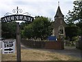
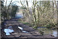
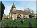
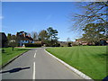
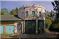
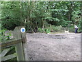
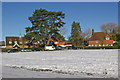
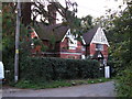
100 photos from this area
Area Information
Key information about the RH3 7BG including its size, population, and administrative classification.
- Area Type
- Postcode
- Area Size
- 36.9 hectares
- Population
- 1636
- Population Density
- 106 people/km²
House Prices in RH3 7BG
14
Properties
£1,397,917
Average Sold Price
£275,000
Lowest Price
£5,390,000
Highest Price
Showing 14 properties
| Address | Type | Beds | Baths | Last Sale Price | Last Sale Date | |
|---|---|---|---|---|---|---|
| Jolly Farmers Cottage, Reigate Road, Buckland, RH3 7BG | Detached | - | - | £5,390,000 | Jan 2025 | |
| Wisteria Cottage, Reigate Road, Buckland, RH3 7BG | Bungalow | 3 | 1 | £617,500 | Jul 2019 | |
| Windmill View, Reigate Road, Buckland, RH3 7BG | Detached | 4 | - | £875,000 | Jul 2015 | |
| Koya, Reigate Road, Buckland, RH3 7BG | Detached | 3 | - | £840,000 | Feb 2014 | |
| Yew Tree Cottage, Reigate Road, Buckland, RH3 7BG | Detached | 2 | 1 | £390,000 | Oct 2002 | |
| Walwyns, Reigate Road, Buckland, RH3 7BG | Detached | - | - | £275,000 | Mar 1998 | |
| The Nook, Reigate Road, Buckland, RH3 7BG | Bungalow | - | - | - | - | |
| The Old Cottage, Reigate Road, Buckland, RH3 7BG | Semi-detached | - | - | - | - | |
| Rose Cottage, Reigate Road, Buckland, RH3 7BG | Detached | - | - | - | - | |
| Long Alders Cottage, Reigate Road, Buckland, RH3 7BG | Detached | - | - | - | - |
Page 1 of 2
Energy Efficiency in RH3 7BG
Amenities
Schools
| Rank | School | Type | Entry gender | Ages |
|---|
Explore more schools in this area
Go to Schools tabDemographics
Household Size
Two person
most common
Accommodation Type
Houses
most common
Tenure
71
majority
Ethnic Group
White
most common
Religion
N/A
most common
Household Composition
N/A
most common
Age
47
median
Adults (30-64 years)
most common
Household Deprivation
N/A
with no deprivation
NS-SEC
49
in Lower managerial occupations
Explore more demographic insights in this area
Go to Demographics tabPlanning
Planning Constraints
- Flood RiskPremium
- Ramsar Wetland SitesPremium
- Area of Outstanding Natural BeautyPremium
- Protected Nature ReservePremium
- Protected WoodlandPremium