Area Overview for RH20 4EZ
Photos of RH20 4EZ
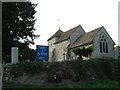
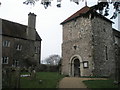
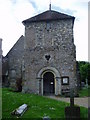
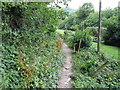
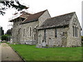
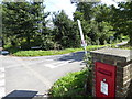
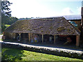
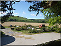
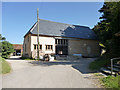
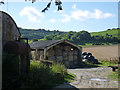
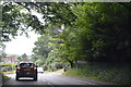
100 photos from this area
Area Information
Key information about the RH20 4EZ including its size, population, and administrative classification.
- Area Type
- Postcode
- Area Size
- 3.4 hectares
- Population
- 1679
- Population Density
- 3029 people/km²
House Prices in RH20 4EZ
51
Properties
£224,663
Average Sold Price
£74,950
Lowest Price
£375,000
Highest Price
Showing 51 properties
| Address | Type | Beds | Baths | Last Sale Price | Last Sale Date | |
|---|---|---|---|---|---|---|
| 4 Post View, Storrington, RH20 4EZ | Terraced | 3 | 1 | £330,000 | Mar 2025 | |
| 32 Post View, Storrington, RH20 4EZ | Terraced | 3 | 1 | £332,000 | Mar 2025 | |
| 10 Post View, Storrington, RH20 4EZ | Semi-detached | 3 | 1 | £375,000 | Feb 2025 | |
| 21 Post View, Storrington, RH20 4EZ | Flat | 1 | 1 | £150,000 | Dec 2023 | |
| 28 Post View, Storrington, RH20 4EZ | house | - | - | £306,000 | Jun 2021 | |
| 38 Post View, Storrington, RH20 4EZ | Terraced | 3 | 1 | £240,000 | Jun 2019 | |
| 24 Post View, Storrington, RH20 4EZ | Terraced | 3 | 1 | £375,000 | Mar 2018 | |
| 34 Post View, Storrington, RH20 4EZ | Terraced | 3 | - | £188,000 | Aug 2012 | |
| 47 Post View, Storrington, RH20 4EZ | house | 3 | - | £183,000 | Feb 2012 | |
| 1 Post View, Storrington, RH20 4EZ | Flat | 1 | 1 | £102,000 | Aug 2010 |
Page 1 of 6
Energy Efficiency in RH20 4EZ
Amenities
Schools
| Rank | School | Type | Entry gender | Ages |
|---|
Explore more schools in this area
Go to Schools tabDemographics
Household Size
One person
most common
Accommodation Type
Houses
most common
Tenure
50
majority
Ethnic Group
White
most common
Religion
N/A
most common
Household Composition
N/A
most common
Age
47
median
Adults (30-64 years)
most common
Household Deprivation
N/A
with no deprivation
NS-SEC
33
in Lower managerial occupations
Explore more demographic insights in this area
Go to Demographics tabPlanning
Planning Constraints
- Flood RiskPremium
- Ramsar Wetland SitesPremium
- Area of Outstanding Natural BeautyPremium
- Protected Nature ReservePremium
- Protected WoodlandPremium