Area Overview for RH20 3JX
Photos of RH20 3JX
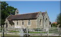
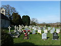
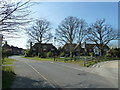
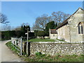
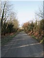
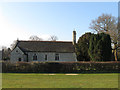
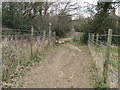
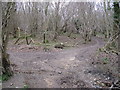
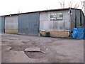
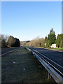
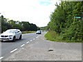
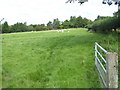
43 photos from this area
Area Information
Key information about the RH20 3JX including its size, population, and administrative classification.
- Area Type
- Postcode
- Area Size
- 2.8 hectares
- Population
- 1630
- Population Density
- 88 people/km²
House Prices in RH20 3JX
18
Properties
£417,000
Average Sold Price
£132,000
Lowest Price
£685,000
Highest Price
Showing 18 properties
| Address | Type | Beds | Baths | Last Sale Price | Last Sale Date | |
|---|---|---|---|---|---|---|
| Firle, Church Lane, Ashington, RH20 3JX | house | - | - | £685,000 | Mar 2023 | |
| GREEN HEDGES, CHURCH LANE, Ashington, RH20 3JX | Terraced | 2 | 2 | £675,000 | Jul 2021 | |
| Westwards, Church Lane, Ashington, RH20 3JX | house | - | - | £535,000 | Feb 2020 | |
| Cleavers, Church Lane, Ashington, RH20 3JX | Bungalow | - | - | £342,000 | Dec 2010 | |
| Black Thorn, Church Lane, Ashington, RH20 3JX | Detached | - | - | £325,000 | Jul 2007 | |
| Halcyon, Church Lane, Ashington, RH20 3JX | Detached | - | - | £225,000 | Jan 2004 | |
| Goolga, Church Lane, Ashington, RH20 3JX | Detached | - | - | £132,000 | Nov 1998 | |
| 1, Green Hedges, Church Lane, Ashington, RH20 3JX | Terraced | 2 | 2 | - | - | |
| The Sett, 4 Church Lane, Ashington, RH20 3JX | Bungalow | 4 | 2 | - | - | |
| Church Farm, Church Lane, Ashington, RH20 3JX | Farm | - | - | - | - |
Page 1 of 2
Energy Efficiency in RH20 3JX
Amenities
Schools
| Rank | School | Type | Entry gender | Ages |
|---|
Explore more schools in this area
Go to Schools tabDemographics
Household Size
Two person
most common
Accommodation Type
Houses
most common
Tenure
79
majority
Ethnic Group
White
most common
Religion
N/A
most common
Household Composition
N/A
most common
Age
47
median
Adults (30-64 years)
most common
Household Deprivation
N/A
with no deprivation
NS-SEC
45
in Lower managerial occupations
Explore more demographic insights in this area
Go to Demographics tabPlanning
Planning Constraints
- Flood RiskPremium
- Ramsar Wetland SitesPremium
- Area of Outstanding Natural BeautyPremium
- Protected Nature ReservePremium
- Protected WoodlandPremium