Area Overview for RH20 3JF
Photos of RH20 3JF
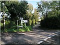
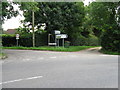
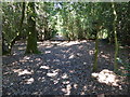


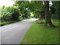
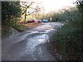
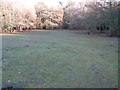
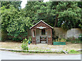
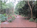
30 photos from this area
Area Information
Key information about the RH20 3JF including its size, population, and administrative classification.
- Area Type
- Postcode
- Area Size
- 6.5 hectares
- Population
- 1540
- Population Density
- 292 people/km²
House Prices in RH20 3JF
32
Properties
£716,458
Average Sold Price
£135,000
Lowest Price
£2,174,999
Highest Price
Showing 32 properties
| Address | Type | Beds | Baths | Last Sale Price | Last Sale Date | |
|---|---|---|---|---|---|---|
| Little Warren, Veras Walk, Storrington, RH20 3JF | Detached | 4 | 2 | £1,175,000 | Sep 2024 | |
| Longbury Hill House, Veras Walk, Storrington, RH20 3JF | Detached | 5 | - | £2,174,999 | Sep 2022 | |
| Heathside, Veras Walk, Storrington, RH20 3JF | house | - | - | £1,615,000 | Jun 2022 | |
| Silver Trees, Veras Walk, Storrington, RH20 3JF | house | - | - | £1,285,000 | May 2022 | |
| Outwood, Veras Walk, Storrington, RH20 3JF | Detached | 5 | 3 | £1,230,000 | Mar 2022 | |
| Tree Tops, Veras Walk, Storrington, RH20 3JF | Detached | 4 | 3 | £1,510,000 | Mar 2022 | |
| Oakland, Veras Walk, Storrington, RH20 3JF | Bungalow | - | - | £745,000 | Jun 2021 | |
| Pinehurst, Veras Walk, Storrington, RH20 3JF | Bungalow | 3 | 3 | £750,000 | Feb 2019 | |
| Whispers, Veras Walk, Storrington, RH20 3JF | Bungalow | 3 | 2 | £560,000 | Sep 2018 | |
| Little Thatch, Veras Walk, Storrington, RH20 3JF | Bungalow | - | - | £675,000 | Oct 2017 |
Page 1 of 4
Energy Efficiency in RH20 3JF
Amenities
Schools
| Rank | School | Type | Entry gender | Ages |
|---|
Explore more schools in this area
Go to Schools tabDemographics
Household Size
Two person
most common
Accommodation Type
Houses
most common
Tenure
85
majority
Ethnic Group
White
most common
Religion
N/A
most common
Household Composition
N/A
most common
Age
47
median
Adults (30-64 years)
most common
Household Deprivation
N/A
with no deprivation
NS-SEC
51
in Lower managerial occupations
Explore more demographic insights in this area
Go to Demographics tabPlanning
Planning Constraints
- Flood RiskPremium
- Ramsar Wetland SitesPremium
- Area of Outstanding Natural BeautyPremium
- Protected Nature ReservePremium
- Protected WoodlandPremium