Area Overview for RH20 3ED
Photos of RH20 3ED
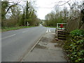
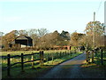
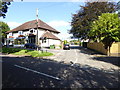

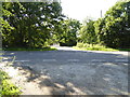
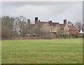
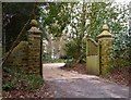
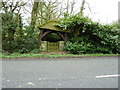
21 photos from this area
Area Information
Key information about the RH20 3ED including its size, population, and administrative classification.
- Area Type
- Postcode
- Area Size
- 19.3 hectares
- Population
- 1952
- Population Density
- 623 people/km²
House Prices in RH20 3ED
25
Properties
£437,821
Average Sold Price
£96,000
Lowest Price
£705,000
Highest Price
Showing 25 properties
| Address | Type | Beds | Baths | Last Sale Price | Last Sale Date | |
|---|---|---|---|---|---|---|
| Snapes Cottage, Storrington Road, Thakeham, RH20 3ED | Detached | 3 | 1 | £651,000 | Jan 2021 | |
| Shiralea, Storrington Road, Thakeham, RH20 3ED | house | - | - | £550,000 | Nov 2020 | |
| Trosley, Storrington Road, Thakeham, RH20 3ED | Bungalow | - | - | £670,000 | Oct 2020 | |
| Little Snapes, Storrington Road, Thakeham, RH20 3ED | house | - | - | £686,500 | Sep 2020 | |
| Littlebury Lodge, Storrington Road, Thakeham, RH20 3ED | Bungalow | - | - | £520,000 | Sep 2018 | |
| Elmswell End, Storrington Road, Thakeham, RH20 3ED | Detached | 5 | 3 | £705,000 | Mar 2018 | |
| The Oaks, Storrington Road, Thakeham, RH20 3ED | Detached | 5 | 2 | £390,000 | May 2013 | |
| Thakeham Ridge, Storrington Road, Thakeham, RH20 3ED | Bungalow | 2 | 3 | £363,000 | Nov 2010 | |
| Snapes Farm, Storrington Road, Thakeham, RH20 3ED | Bungalow | - | - | £575,000 | Sep 2009 | |
| Weaverswood, Storrington Road, Thakeham, RH20 3ED | Bungalow | 3 | 2 | £455,000 | Mar 2007 |
Page 1 of 3
Energy Efficiency in RH20 3ED
Amenities
Schools
| Rank | School | Type | Entry gender | Ages |
|---|
Explore more schools in this area
Go to Schools tabDemographics
Household Size
Two person
most common
Accommodation Type
Houses
most common
Tenure
87
majority
Ethnic Group
White
most common
Religion
N/A
most common
Household Composition
N/A
most common
Age
47
median
Adults (30-64 years)
most common
Household Deprivation
N/A
with no deprivation
NS-SEC
44
in Lower managerial occupations
Explore more demographic insights in this area
Go to Demographics tabPlanning
Planning Constraints
- Flood RiskPremium
- Ramsar Wetland SitesPremium
- Area of Outstanding Natural BeautyPremium
- Protected Nature ReservePremium
- Protected WoodlandPremium