Area Overview for RH20 3BE
Photos of RH20 3BE
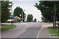
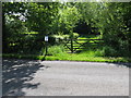
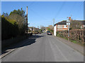
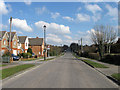
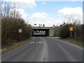
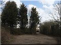
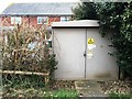


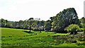

55 photos from this area
Area Information
Key information about the RH20 3BE including its size, population, and administrative classification.
- Area Type
- Postcode
- Area Size
- 1.5 hectares
- Population
- 1630
- Population Density
- 88 people/km²
House Prices in RH20 3BE
20
Properties
£392,059
Average Sold Price
£85,000
Lowest Price
£795,000
Highest Price
Showing 20 properties
| Address | Type | Beds | Baths | Last Sale Price | Last Sale Date | |
|---|---|---|---|---|---|---|
| 23 Mill Mead, Ashington, RH20 3BE | Detached | 5 | 3 | £715,000 | May 2025 | |
| 25 Mill Mead, Ashington, RH20 3BE | Detached | 4 | 2 | £570,000 | Nov 2024 | |
| 5 Mill Mead, Ashington, RH20 3BE | house | - | - | £795,000 | Aug 2022 | |
| 15 Mill Mead, Ashington, RH20 3BE | Detached | 4 | - | £470,000 | Feb 2019 | |
| 19 Mill Mead, Ashington, RH20 3BE | house | - | - | £455,000 | Nov 2015 | |
| 27 Mill Mead, Ashington, RH20 3BE | Bungalow | 3 | - | £465,000 | Sep 2015 | |
| 12 Mill Mead, Ashington, RH20 3BE | Detached | - | - | £282,500 | Jan 2010 | |
| 8 Mill Mead, Ashington, RH20 3BE | house | - | - | £325,000 | Nov 2009 | |
| 1 Mill Mead, Ashington, RH20 3BE | Detached | 4 | 2 | £470,000 | May 2008 | |
| 21 Mill Mead, Ashington, RH20 3BE | Detached | 4 | 2 | £330,000 | Nov 2007 |
Page 1 of 2
Energy Efficiency in RH20 3BE
Amenities
Schools
| Rank | School | Type | Entry gender | Ages |
|---|
Explore more schools in this area
Go to Schools tabDemographics
Household Size
Two person
most common
Accommodation Type
Houses
most common
Tenure
79
majority
Ethnic Group
White
most common
Religion
N/A
most common
Household Composition
N/A
most common
Age
47
median
Adults (30-64 years)
most common
Household Deprivation
N/A
with no deprivation
NS-SEC
45
in Lower managerial occupations
Explore more demographic insights in this area
Go to Demographics tabPlanning
Planning Constraints
- Flood RiskPremium
- Ramsar Wetland SitesPremium
- Area of Outstanding Natural BeautyPremium
- Protected Nature ReservePremium
- Protected WoodlandPremium