Area Overview for RH20 2QU
Photos of RH20 2QU
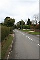


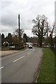

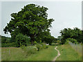
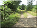

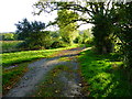
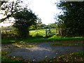
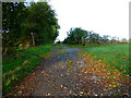

29 photos from this area
Area Information
Key information about the RH20 2QU including its size, population, and administrative classification.
- Area Type
- Postcode
- Area Size
- 7.6 hectares
- Population
- 1709
- Population Density
- 111 people/km²
House Prices in RH20 2QU
39
Properties
£653,063
Average Sold Price
£108,000
Lowest Price
£1,200,000
Highest Price
Showing 39 properties
| Address | Type | Beds | Baths | Last Sale Price | Last Sale Date | |
|---|---|---|---|---|---|---|
| Bay Tree, Lordings Lane, West Chiltington, RH20 2QU | Bungalow | 2 | 2 | £595,000 | Dec 2024 | |
| Morningside, Lordings Lane, West Chiltington, RH20 2QU | house | 5 | 3 | £1,190,000 | Nov 2023 | |
| Harptree, Lordings Lane, West Chiltington, RH20 2QU | Detached | 4 | 4 | £1,200,000 | Sep 2023 | |
| Timaru, Lordings Lane, West Chiltington, RH20 2QU | Bungalow | - | - | £990,000 | Sep 2022 | |
| Berrington Lodge, Lordings Lane, West Chiltington, RH20 2QU | Detached | 3 | 2 | £875,000 | Jun 2022 | |
| The Pheasant House, Lordings Lane, West Chiltington, RH20 2QU | house | - | - | £905,000 | Nov 2020 | |
| Banavie, Lordings Lane, West Chiltington, RH20 2QU | Bungalow | 4 | 1 | £700,000 | Apr 2019 | |
| Drey House, Lordings Lane, West Chiltington, RH20 2QU | house | - | - | £785,000 | Jan 2017 | |
| Cabana, Lordings Lane, West Chiltington, RH20 2QU | Bungalow | - | - | £820,000 | Aug 2016 | |
| Oakwood, Lordings Lane, West Chiltington, RH20 2QU | Bungalow | 3 | - | £466,000 | Mar 2016 |
Page 1 of 4
Energy Efficiency in RH20 2QU
Amenities
Schools
| Rank | School | Type | Entry gender | Ages |
|---|
Explore more schools in this area
Go to Schools tabDemographics
Household Size
Two person
most common
Accommodation Type
Houses
most common
Tenure
85
majority
Ethnic Group
White
most common
Religion
N/A
most common
Household Composition
N/A
most common
Age
47
median
Adults (30-64 years)
most common
Household Deprivation
N/A
with no deprivation
NS-SEC
49
in Lower managerial occupations
Explore more demographic insights in this area
Go to Demographics tabPlanning
Planning Constraints
- Flood RiskPremium
- Ramsar Wetland SitesPremium
- Area of Outstanding Natural BeautyPremium
- Protected Nature ReservePremium
- Protected WoodlandPremium