Area Overview for RH20 2NU
Photos of RH20 2NU
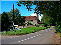
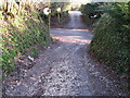
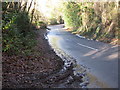
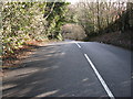
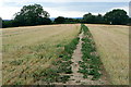
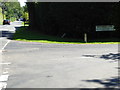
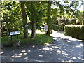
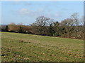
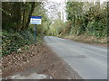
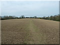
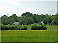
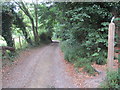
24 photos from this area
Area Information
Key information about the RH20 2NU including its size, population, and administrative classification.
- Area Type
- Postcode
- Area Size
- 1.5 hectares
- Population
- 1707
- Population Density
- 892 people/km²
House Prices in RH20 2NU
5
Properties
£678,750
Average Sold Price
£150,000
Lowest Price
£945,000
Highest Price
Showing 5 properties
| Address | Type | Beds | Baths | Last Sale Price | Last Sale Date | |
|---|---|---|---|---|---|---|
| Greylands, Birch Grove, West Chiltington, RH20 2NU | Detached | 3 | 3 | £945,000 | Mar 2025 | |
| Robins Oak, Birch Grove, West Chiltington, RH20 2NU | Bungalow | 4 | 3 | £870,000 | Feb 2024 | |
| Birch Grove House, Birch Grove, West Chiltington, RH20 2NU | Detached | 5 | 3 | £750,000 | Jun 2012 | |
| Shadiroc, Birch Grove, West Chiltington, RH20 2NU | Detached | - | - | £150,000 | Jun 2004 | |
| Springfield, Birch Grove, West Chiltington, RH20 2NU | Detached | - | - | - | - |
Energy Efficiency in RH20 2NU
Amenities
Schools
| Rank | School | Type | Entry gender | Ages |
|---|
Explore more schools in this area
Go to Schools tabDemographics
Household Size
Two person
most common
Accommodation Type
Houses
most common
Tenure
96
majority
Ethnic Group
White
most common
Religion
N/A
most common
Household Composition
N/A
most common
Age
70
median
Elderly (65+ years)
most common
Household Deprivation
N/A
with no deprivation
NS-SEC
56
in Lower managerial occupations
Explore more demographic insights in this area
Go to Demographics tabPlanning
Planning Constraints
- Flood RiskPremium
- Ramsar Wetland SitesPremium
- Area of Outstanding Natural BeautyPremium
- Protected Nature ReservePremium
- Protected WoodlandPremium