Area Overview for RH20 2NL
Photos of RH20 2NL
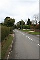
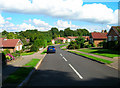

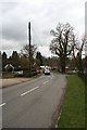
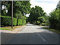
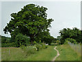
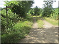
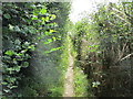
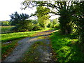

29 photos from this area
Area Information
Key information about the RH20 2NL including its size, population, and administrative classification.
- Area Type
- Postcode
- Area Size
- 4.3 hectares
- Population
- 1707
- Population Density
- 892 people/km²
House Prices in RH20 2NL
31
Properties
£683,940
Average Sold Price
£249,950
Lowest Price
£1,275,000
Highest Price
Showing 31 properties
| Address | Type | Beds | Baths | Last Sale Price | Last Sale Date | |
|---|---|---|---|---|---|---|
| Highclere, Common Hill, West Chiltington, RH20 2NL | Detached | 6 | 4 | £1,185,000 | Jan 2025 | |
| Witan House, Common Hill, West Chiltington, RH20 2NL | Detached | 3 | 3 | £1,250,000 | Jun 2023 | |
| Old Well Cottage, Common Hill, West Chiltington, RH20 2NL | Bungalow | 3 | 2 | £1,200,000 | May 2022 | |
| Ranleigh House, Common Hill, West Chiltington, RH20 2NL | house | - | - | £1,275,000 | Dec 2021 | |
| Summerlea, Common Hill, West Chiltington, RH20 2NL | Retail | 4 | 3 | £1,185,000 | Dec 2021 | |
| White Cottage, Common Hill, West Chiltington, RH20 2NL | Detached | 3 | 2 | £397,000 | Jan 2019 | |
| Chiltington Place, Common Hill, West Chiltington, RH20 2NL | house | - | - | £980,000 | Jul 2016 | |
| Bray Cottage, Common Hill, West Chiltington, RH20 2NL | Detached | 3 | - | £447,500 | May 2016 | |
| 1, Holly Cottages, Common Hill, West Chiltington, RH20 2NL | house | - | - | £390,000 | Nov 2015 | |
| Nurses Cottage, Common Hill, West Chiltington, RH20 2NL | house | - | - | £530,000 | Jul 2015 |
Page 1 of 4
Energy Efficiency in RH20 2NL
Amenities
Schools
| Rank | School | Type | Entry gender | Ages |
|---|
Explore more schools in this area
Go to Schools tabDemographics
Household Size
Two person
most common
Accommodation Type
Houses
most common
Tenure
96
majority
Ethnic Group
White
most common
Religion
N/A
most common
Household Composition
N/A
most common
Age
70
median
Elderly (65+ years)
most common
Household Deprivation
N/A
with no deprivation
NS-SEC
56
in Lower managerial occupations
Explore more demographic insights in this area
Go to Demographics tabPlanning
Planning Constraints
- Flood RiskPremium
- Ramsar Wetland SitesPremium
- Area of Outstanding Natural BeautyPremium
- Protected Nature ReservePremium
- Protected WoodlandPremium