Area Overview for RH20 1PB
Photos of RH20 1PB
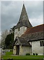
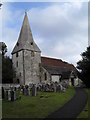
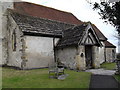
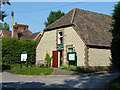
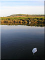
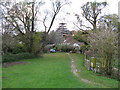
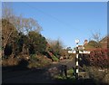
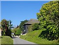
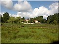
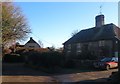
100 photos from this area
Area Information
Key information about the RH20 1PB including its size, population, and administrative classification.
- Area Type
- Postcode
- Area Size
- 57.5 hectares
- Population
- 1020
- Population Density
- 33 people/km²
House Prices in RH20 1PB
41
Properties
£664,894
Average Sold Price
£305,000
Lowest Price
£995,000
Highest Price
Showing 41 properties
| Address | Type | Beds | Baths | Last Sale Price | Last Sale Date | |
|---|---|---|---|---|---|---|
| Ferry Cottage, Church Lane, Bury, RH20 1PB | Detached | - | - | £825,000 | Apr 2021 | |
| Bean Tree Cottage, Church Lane, Bury, RH20 1PB | house | - | - | £995,000 | Mar 2021 | |
| Hidden House, Church Lane, Bury, RH20 1PB | Bungalow | - | - | £650,000 | Jan 2021 | |
| Little Lodge, Church Lane, Bury, RH20 1PB | Detached | 6 | 2 | £410,000 | Nov 2020 | |
| Saddlers, Church Lane, Bury, RH20 1PB | Detached | 4 | 2 | £865,000 | Aug 2020 | |
| Manor Cottage, Church Lane, Bury, RH20 1PB | house | - | - | £877,500 | Oct 2017 | |
| Jessamine Cottage, Church Lane, Bury, RH20 1PB | Detached | 3 | 2 | £510,000 | Oct 2017 | |
| High Dyke, Church Lane, Bury, RH20 1PB | house | - | - | £749,300 | May 2016 | |
| Bramley Cottage, Church Lane, Bury, RH20 1PB | Detached | 3 | 2 | £595,500 | Aug 2015 | |
| Bankside, Church Lane, Bury, RH20 1PB | Detached | 4 | 2 | £850,000 | Dec 2008 |
Page 1 of 5
Energy Efficiency in RH20 1PB
Amenities
Schools
| Rank | School | Type | Entry gender | Ages |
|---|
Explore more schools in this area
Go to Schools tabDemographics
Household Size
Two person
most common
Accommodation Type
Houses
most common
Tenure
73
majority
Ethnic Group
White
most common
Religion
N/A
most common
Household Composition
N/A
most common
Age
47
median
Adults (30-64 years)
most common
Household Deprivation
N/A
with no deprivation
NS-SEC
41
in Lower managerial occupations
Explore more demographic insights in this area
Go to Demographics tabPlanning
Planning Constraints
- Flood RiskPremium
- Ramsar Wetland SitesPremium
- Area of Outstanding Natural BeautyPremium
- Protected Nature ReservePremium
- Protected WoodlandPremium