Area Overview for RH20 1JR
Photos of RH20 1JR
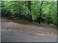
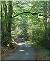
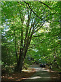
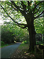
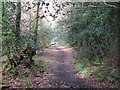
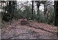
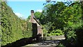
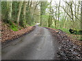
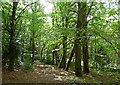
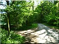
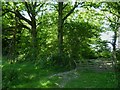
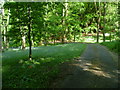
35 photos from this area
Area Information
Key information about the RH20 1JR including its size, population, and administrative classification.
- Area Type
- Postcode
- Area Size
- 1.3 km²
- Population
- 1505
- Population Density
- 58 people/km²
House Prices in RH20 1JR
18
Properties
£828,217
Average Sold Price
£340,500
Lowest Price
£1,295,000
Highest Price
Showing 18 properties
| Address | Type | Beds | Baths | Last Sale Price | Last Sale Date | |
|---|---|---|---|---|---|---|
| Rough Meadow, Wakestone Lane, Bedham, Wisborough Green, RH20 1JR | house | - | - | £950,000 | Nov 2024 | |
| Wakestones, Wakestone Lane, Bedham, Wisborough Green, RH20 1JR | Detached | - | - | £1,265,000 | Oct 2018 | |
| Hill Croft, Wakestone Lane, Bedham, Wisborough Green, RH20 1JR | Detached | 3 | 2 | £1,295,000 | Jan 2017 | |
| Cotford, Wakestone Lane, Bedham, Wisborough Green, RH20 1JR | Detached | - | - | £1,250,000 | Sep 2016 | |
| School House Cottage, Wakestone Lane, Bedham, Wisborough Green, RH20 1JR | Detached | - | - | £400,000 | Apr 2016 | |
| The Orchard, Wakestone Lane, Bedham, Wisborough Green, RH20 1JR | Detached | 3 | 2 | £960,000 | Dec 2015 | |
| Old Orchard, Wakestone Lane, Bedham, Wisborough Green, RH20 1JR | Detached | 4 | 2 | £866,667 | Aug 2014 | |
| Hoghurst, Wakestone Lane, Bedham, Wisborough Green, RH20 1JR | Detached | 5 | 4 | £520,000 | May 2009 | |
| Mants, Wakestone Lane, Bedham, Wisborough Green, RH20 1JR | Detached | - | - | £435,000 | Jul 2003 | |
| Bedham Cottage, Wakestone Lane, Bedham, Wisborough Green, RH20 1JR | Detached | 3 | - | £340,500 | Jun 2002 |
Page 1 of 2
Energy Efficiency in RH20 1JR
Amenities
Schools
| Rank | School | Type | Entry gender | Ages |
|---|
Explore more schools in this area
Go to Schools tabDemographics
Household Size
Two person
most common
Accommodation Type
Houses
most common
Tenure
71
majority
Ethnic Group
White
most common
Religion
N/A
most common
Household Composition
N/A
most common
Age
47
median
Adults (30-64 years)
most common
Household Deprivation
N/A
with no deprivation
NS-SEC
44
in Lower managerial occupations
Explore more demographic insights in this area
Go to Demographics tabPlanning
Planning Constraints
- Flood RiskPremium
- Ramsar Wetland SitesPremium
- Area of Outstanding Natural BeautyPremium
- Protected Nature ReservePremium
- Protected WoodlandPremium