Area Overview for RH20 1FJ
Photos of RH20 1FJ
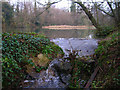
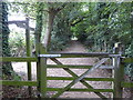
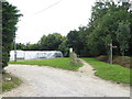
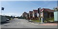
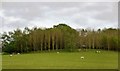
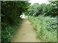
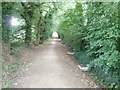
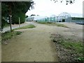
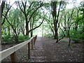
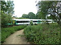
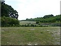
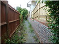
29 photos from this area
Area Information
Key information about the RH20 1FJ including its size, population, and administrative classification.
- Area Type
- Postcode
- Area Size
- 3.9 hectares
- Population
- 2236
- Population Density
- 1967 people/km²
House Prices in RH20 1FJ
71
Properties
£307,223
Average Sold Price
£176,000
Lowest Price
£590,000
Highest Price
Showing 71 properties
| Address | Type | Beds | Baths | Last Sale Price | Last Sale Date | |
|---|---|---|---|---|---|---|
| 15 Riverside, Codmore Hill, RH20 1FJ | house | - | - | £380,000 | Mar 2025 | |
| 66 Riverside, Codmore Hill, RH20 1FJ | house | - | - | £375,000 | Mar 2025 | |
| 7 Riverside, Codmore Hill, RH20 1FJ | Detached | 4 | 2 | £590,000 | Oct 2024 | |
| 36 Riverside, Codmore Hill, RH20 1FJ | Flat | - | - | £212,000 | Apr 2024 | |
| 50 Riverside, Codmore Hill, RH20 1FJ | Flat | - | - | £200,000 | Jul 2022 | |
| 39 Riverside, Codmore Hill, RH20 1FJ | house | 4 | - | £450,000 | Sep 2021 | |
| 12 Riverside, Codmore Hill, RH20 1FJ | Flat | 2 | - | £212,500 | Sep 2020 | |
| 76 Riverside, Codmore Hill, RH20 1FJ | Flat | - | - | £176,000 | Mar 2020 | |
| 35 Riverside, Codmore Hill, RH20 1FJ | Detached | 4 | 2 | £479,000 | Jan 2020 | |
| 64 Riverside, Codmore Hill, RH20 1FJ | house | 3 | - | £317,500 | Nov 2019 |
Page 1 of 8
Energy Efficiency in RH20 1FJ
Amenities
Schools
| Rank | School | Type | Entry gender | Ages |
|---|
Explore more schools in this area
Go to Schools tabDemographics
Household Size
Two person
most common
Accommodation Type
Houses
most common
Tenure
60
majority
Ethnic Group
White
most common
Religion
N/A
most common
Household Composition
N/A
most common
Age
47
median
Adults (30-64 years)
most common
Household Deprivation
N/A
with no deprivation
NS-SEC
33
in Lower managerial occupations
Explore more demographic insights in this area
Go to Demographics tabPlanning
Planning Constraints
- Flood RiskPremium
- Ramsar Wetland SitesPremium
- Area of Outstanding Natural BeautyPremium
- Protected Nature ReservePremium
- Protected WoodlandPremium