Area Overview for RH20 1AA
Photos of RH20 1AA
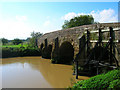
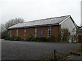
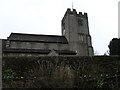
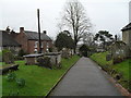
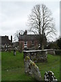
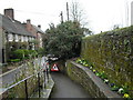
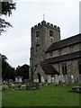
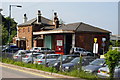
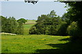
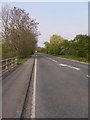
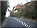
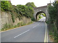
100 photos from this area
Area Information
Key information about the RH20 1AA including its size, population, and administrative classification.
- Area Type
- Postcode
- Area Size
- 4342 m²
- Population
- 1552
- Population Density
- 1205 people/km²
House Prices in RH20 1AA
5
Properties
£389,167
Average Sold Price
£307,500
Lowest Price
£525,000
Highest Price
Showing 5 properties
| Address | Type | Beds | Baths | Last Sale Price | Last Sale Date | |
|---|---|---|---|---|---|---|
| The Corner House, Church Hill, Pulborough, RH20 1AA | house | - | - | £525,000 | Jul 2025 | |
| Saddlers, Church Hill, Pulborough, RH20 1AA | house | 2 | 1 | £335,000 | Nov 2019 | |
| Horncroft, Church Hill, Pulborough, RH20 1AA | Terraced | - | - | £307,500 | Oct 2017 | |
| The Flat, The Furnishing Shop, Station Road, Pulborough, RH20 1AA | Flat | - | - | - | - | |
| Old Timbers, Church Hill, Pulborough, RH20 1AA | Terraced | - | - | - | - |
Energy Efficiency in RH20 1AA
Amenities
Schools
| Rank | School | Type | Entry gender | Ages |
|---|
Explore more schools in this area
Go to Schools tabDemographics
Household Size
One person
most common
Accommodation Type
Houses
most common
Tenure
72
majority
Ethnic Group
White
most common
Religion
N/A
most common
Household Composition
N/A
most common
Age
47
median
Adults (30-64 years)
most common
Household Deprivation
N/A
with no deprivation
NS-SEC
40
in Lower managerial occupations
Explore more demographic insights in this area
Go to Demographics tabPlanning
Planning Constraints
- Flood RiskPremium
- Ramsar Wetland SitesPremium
- Area of Outstanding Natural BeautyPremium
- Protected Nature ReservePremium
- Protected WoodlandPremium