Area Overview for RH2 9HS
Photos of RH2 9HS
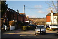
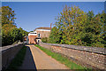
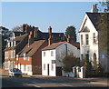
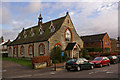
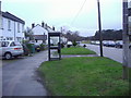
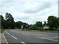
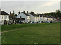
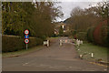
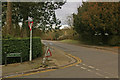
100 photos from this area
Area Information
Key information about the RH2 9HS including its size, population, and administrative classification.
- Area Type
- Postcode
- Area Size
- 7541 m²
- Population
- 2302
- Population Density
- 489 people/km²
House Prices in RH2 9HS
37
Properties
£448,729
Average Sold Price
£71,500
Lowest Price
£805,000
Highest Price
Showing 37 properties
| Address | Type | Beds | Baths | Last Sale Price | Last Sale Date | |
|---|---|---|---|---|---|---|
| 72 Nutley Lane, Reigate, RH2 9HS | Semi-detached | 4 | 2 | £805,000 | Nov 2024 | |
| 76 Nutley Lane, Reigate, RH2 9HS | Terraced | 2 | 1 | £465,000 | Jun 2024 | |
| 66 Nutley Lane, Reigate, RH2 9HS | Terraced | 2 | 1 | £445,000 | Dec 2023 | |
| 68 Nutley Lane, Reigate, RH2 9HS | Terraced | 3 | 1 | £625,000 | Dec 2023 | |
| 70 Nutley Lane, Reigate, RH2 9HS | Semi-detached | 2 | 1 | £485,000 | Apr 2023 | |
| 60 Nutley Lane, Reigate, RH2 9HS | house | 2 | 1 | £485,000 | Jul 2022 | |
| 56 Nutley Lane, Reigate, RH2 9HS | Semi-detached | 2 | 1 | £445,000 | Mar 2022 | |
| The House, 40 Nutley Lane, Reigate, RH2 9HS | Terraced | 4 | 2 | £675,000 | Sep 2021 | |
| 34 Nutley Lane, Reigate, RH2 9HS | Terraced | 2 | 2 | £470,000 | Mar 2021 | |
| 62 Nutley Lane, Reigate, RH2 9HS | Terraced | 3 | 2 | £540,000 | Jun 2020 |
Page 1 of 4
Energy Efficiency in RH2 9HS
Amenities
Schools
| Rank | School | Type | Entry gender | Ages |
|---|
Explore more schools in this area
Go to Schools tabDemographics
Household Size
Family (3-5 people)
most common
Accommodation Type
Houses
most common
Tenure
84
majority
Ethnic Group
White
most common
Religion
N/A
most common
Household Composition
N/A
most common
Age
47
median
Adults (30-64 years)
most common
Household Deprivation
N/A
with no deprivation
NS-SEC
56
in Lower managerial occupations
Explore more demographic insights in this area
Go to Demographics tabPlanning
Planning Constraints
- Flood RiskPremium
- Ramsar Wetland SitesPremium
- Area of Outstanding Natural BeautyPremium
- Protected Nature ReservePremium
- Protected WoodlandPremium