Area Overview for RH2 7HJ
Photos of RH2 7HJ
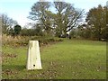
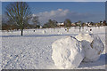
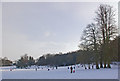
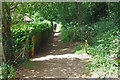
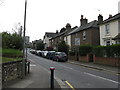
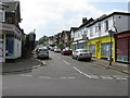
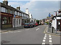
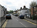
100 photos from this area
Area Information
Key information about the RH2 7HJ including its size, population, and administrative classification.
- Area Type
- Postcode
- Area Size
- 5.3 hectares
- Population
- 1912
- Population Density
- 3460 people/km²
House Prices in RH2 7HJ
60
Properties
£699,057
Average Sold Price
£146,000
Lowest Price
£1,380,000
Highest Price
Showing 60 properties
| Address | Type | Beds | Baths | Last Sale Price | Last Sale Date | |
|---|---|---|---|---|---|---|
| 32 Smoke Lane, Reigate, RH2 7HJ | Detached | 5 | 2 | £940,000 | Aug 2025 | |
| 36 Smoke Lane, Reigate, RH2 7HJ | Detached | 3 | 2 | £815,000 | Oct 2023 | |
| 24A Smoke Lane, Reigate, RH2 7HJ | Flat | 1 | 1 | £1,165,000 | Jan 2023 | |
| 39 Smoke Lane, Reigate, RH2 7HJ | Retail | 4 | 2 | £1,130,000 | Oct 2022 | |
| 38 Smoke Lane, Reigate, RH2 7HJ | house | - | - | £1,157,577 | Sep 2022 | |
| 35 Smoke Lane, Reigate, RH2 7HJ | Detached | 5 | 4 | £1,380,000 | Jul 2022 | |
| Old Briars, Smoke Lane, Reigate, RH2 7HJ | house | 3 | - | £1,115,000 | Sep 2021 | |
| 17 Smoke Lane, Reigate, RH2 7HJ | Semi-detached | 3 | 1 | £650,000 | Nov 2020 | |
| 25 Smoke Lane, Reigate, RH2 7HJ | house | - | - | £900,000 | Oct 2020 | |
| 13 Smoke Lane, Reigate, RH2 7HJ | Semi-detached | 2 | 2 | £655,000 | Jun 2018 |
Page 1 of 6
Energy Efficiency in RH2 7HJ
Amenities
Schools
| Rank | School | Type | Entry gender | Ages |
|---|
Explore more schools in this area
Go to Schools tabDemographics
Household Size
Family (3-5 people)
most common
Accommodation Type
Houses
most common
Tenure
61
majority
Ethnic Group
White
most common
Religion
N/A
most common
Household Composition
N/A
most common
Age
47
median
Adults (30-64 years)
most common
Household Deprivation
N/A
with no deprivation
NS-SEC
41
in Lower managerial occupations
Explore more demographic insights in this area
Go to Demographics tabPlanning
Planning Constraints
- Flood RiskPremium
- Ramsar Wetland SitesPremium
- Area of Outstanding Natural BeautyPremium
- Protected Nature ReservePremium
- Protected WoodlandPremium