Area Overview for RH2 7HG
Photos of RH2 7HG
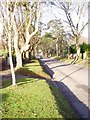
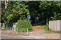
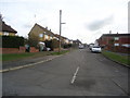
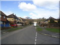
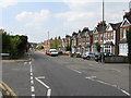
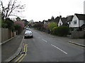
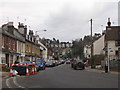
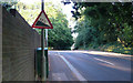
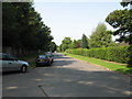
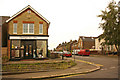
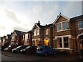
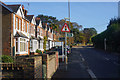
100 photos from this area
Area Information
Key information about the RH2 7HG including its size, population, and administrative classification.
- Area Type
- Postcode
- Area Size
- 3.0 hectares
- Population
- 1557
- Population Density
- 2829 people/km²
House Prices in RH2 7HG
37
Properties
£1,138,214
Average Sold Price
£255,000
Lowest Price
£1,870,000
Highest Price
Showing 37 properties
| Address | Type | Beds | Baths | Last Sale Price | Last Sale Date | |
|---|---|---|---|---|---|---|
| 18A Furzefield Road, Reigate, RH2 7HG | Detached | 6 | 4 | £1,175,000 | Mar 2025 | |
| 28 Furzefield Road, Reigate, RH2 7HG | Detached | 7 | 3 | £1,700,000 | Mar 2025 | |
| The Bramley, 3A Furzefield Road, Reigate, RH2 7HG | house | - | - | £1,740,000 | Aug 2017 | |
| Courtwood, 7 Furzefield Road, Reigate, RH2 7HG | Flat | - | - | £1,620,000 | Mar 2016 | |
| Marchworth, 5 Furzefield Road, Reigate, RH2 7HG | house | - | - | £1,870,000 | Oct 2015 | |
| 19 Furzefield Road, Reigate, RH2 7HG | Detached | 4 | 2 | £950,000 | Sep 2015 | |
| 10 Furzefield Road, Reigate, RH2 7HG | house | - | - | £1,350,000 | Jun 2014 | |
| 18 Furzefield Road, Reigate, RH2 7HG | house | 7 | - | £1,000,000 | May 2012 | |
| 8 Furzefield Road, Reigate, RH2 7HG | Flat | - | - | £1,322,500 | Oct 2010 | |
| 16 Furzefield Road, Reigate, RH2 7HG | Detached | - | - | £1,140,000 | Jul 2010 |
Page 1 of 4
Energy Efficiency in RH2 7HG
Amenities
Schools
| Rank | School | Type | Entry gender | Ages |
|---|
Explore more schools in this area
Go to Schools tabDemographics
Household Size
Family (3-5 people)
most common
Accommodation Type
Houses
most common
Tenure
90
majority
Ethnic Group
White
most common
Religion
N/A
most common
Household Composition
N/A
most common
Age
47
median
Adults (30-64 years)
most common
Household Deprivation
N/A
with no deprivation
NS-SEC
61
in Lower managerial occupations
Explore more demographic insights in this area
Go to Demographics tabPlanning
Planning Constraints
- Flood RiskPremium
- Ramsar Wetland SitesPremium
- Area of Outstanding Natural BeautyPremium
- Protected Nature ReservePremium
- Protected WoodlandPremium