Area Overview for RH2 7HE
Photos of RH2 7HE
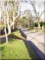
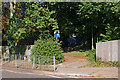
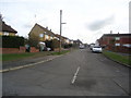
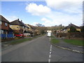
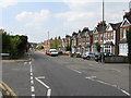
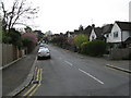
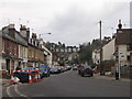
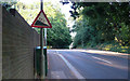
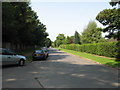
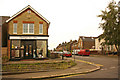
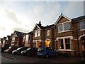
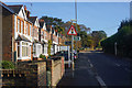
100 photos from this area
Area Information
Key information about the RH2 7HE including its size, population, and administrative classification.
- Area Type
- Postcode
- Area Size
- 8103 m²
- Population
- 1912
- Population Density
- 3460 people/km²
House Prices in RH2 7HE
31
Properties
£509,449
Average Sold Price
£108,000
Lowest Price
£885,000
Highest Price
Showing 31 properties
| Address | Type | Beds | Baths | Last Sale Price | Last Sale Date | |
|---|---|---|---|---|---|---|
| 4 Cornfield Road, Reigate, RH2 7HE | Maisonette | 3 | 1 | £410,000 | Jun 2025 | |
| 32 Cornfield Road, Reigate, RH2 7HE | Semi-detached | 3 | 2 | £865,000 | May 2024 | |
| 50 Cornfield Road, Reigate, RH2 7HE | Semi-detached | 4 | 3 | £850,000 | Feb 2023 | |
| 54 Cornfield Road, Reigate, RH2 7HE | house | 4 | 1 | £885,000 | Aug 2022 | |
| 20 Cornfield Road, Reigate, RH2 7HE | house | - | - | £717,500 | Oct 2021 | |
| 2B Cornfield Road, Reigate, RH2 7HE | Maisonette | 1 | 1 | £212,500 | Mar 2021 | |
| 44 Cornfield Road, Reigate, RH2 7HE | Semi-detached | 4 | 2 | £678,000 | Oct 2020 | |
| 22 Cornfield Road, Reigate, RH2 7HE | Semi-detached | 4 | 2 | £600,000 | Jan 2019 | |
| 28 Cornfield Road, Reigate, RH2 7HE | Semi-detached | 4 | 1 | £600,000 | Dec 2018 | |
| 6 Cornfield Road, Reigate, RH2 7HE | Maisonette | 3 | 1 | £310,000 | Nov 2018 |
Page 1 of 4
Energy Efficiency in RH2 7HE
Amenities
Schools
| Rank | School | Type | Entry gender | Ages |
|---|
Explore more schools in this area
Go to Schools tabDemographics
Household Size
Family (3-5 people)
most common
Accommodation Type
Houses
most common
Tenure
61
majority
Ethnic Group
White
most common
Religion
N/A
most common
Household Composition
N/A
most common
Age
47
median
Adults (30-64 years)
most common
Household Deprivation
N/A
with no deprivation
NS-SEC
41
in Lower managerial occupations
Explore more demographic insights in this area
Go to Demographics tabPlanning
Planning Constraints
- Flood RiskPremium
- Ramsar Wetland SitesPremium
- Area of Outstanding Natural BeautyPremium
- Protected Nature ReservePremium
- Protected WoodlandPremium