Area Overview for RH2 0NR
Photos of RH2 0NR
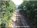
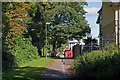
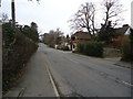
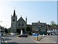
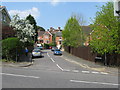
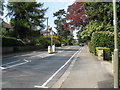
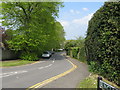
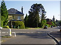
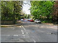
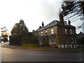
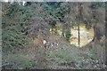
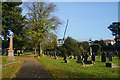
100 photos from this area
Area Information
Key information about the RH2 0NR including its size, population, and administrative classification.
- Area Type
- Postcode
- Area Size
- 1.4 hectares
- Population
- 1457
- Population Density
- 2412 people/km²
House Prices in RH2 0NR
33
Properties
£545,400
Average Sold Price
£367,500
Lowest Price
£780,000
Highest Price
Showing 33 properties
| Address | Type | Beds | Baths | Last Sale Price | Last Sale Date | |
|---|---|---|---|---|---|---|
| 82B Doods Road, Reigate, RH2 0NR | Flat | - | - | £412,500 | Oct 2019 | |
| 82C Doods Road, Reigate, RH2 0NR | Flat | 3 | 1 | £367,500 | Sep 2015 | |
| Westmount, 82 Doods Road, Reigate, RH2 0NR | house | - | - | £780,000 | Nov 2012 | |
| Field House, 92 Doods Road, Reigate, RH2 0NR | Terraced | 2 | 1 | £707,000 | May 2009 | |
| 96 Doods Road, Reigate, RH2 0NR | house | - | - | £460,000 | Nov 2002 | |
| 80A Doods Road, Reigate, RH2 0NR | Flat | 5 | 3 | - | - | |
| Flat 4, Wraycroft, 78 Doods Road, Reigate, RH2 0NR | Flat | 2 | 2 | - | - | |
| Flat 1, Wraycroft, 78 Doods Road, Reigate, RH2 0NR | Flat | 2 | 1 | - | - | |
| Flat 2, Casterbridge, 84-86 Doods Road, Reigate, RH2 0NR | Flat | 2 | 1 | - | - | |
| Flat 5, Wraycroft, 78 Doods Road, Reigate, RH2 0NR | Flat | 2 | 1 | - | - |
Page 1 of 4
Energy Efficiency in RH2 0NR
Amenities
Schools
| Rank | School | Type | Entry gender | Ages |
|---|
Explore more schools in this area
Go to Schools tabDemographics
Household Size
Family (3-5 people)
most common
Accommodation Type
Houses
most common
Tenure
81
majority
Ethnic Group
White
most common
Religion
N/A
most common
Household Composition
N/A
most common
Age
47
median
Adults (30-64 years)
most common
Household Deprivation
N/A
with no deprivation
NS-SEC
58
in Lower managerial occupations
Explore more demographic insights in this area
Go to Demographics tabPlanning
Planning Constraints
- Flood RiskPremium
- Ramsar Wetland SitesPremium
- Area of Outstanding Natural BeautyPremium
- Protected Nature ReservePremium
- Protected WoodlandPremium