Area Overview for RH19 4QN
Photos of RH19 4QN
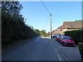
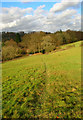
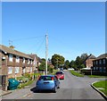
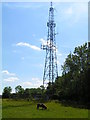
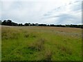

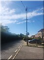
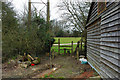
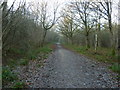
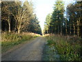
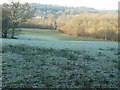
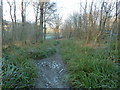
43 photos from this area
Area Information
Key information about the RH19 4QN including its size, population, and administrative classification.
- Area Type
- Postcode
- Area Size
- 57.7 hectares
- Population
- 2052
- Population Density
- 96 people/km²
House Prices in RH19 4QN
39
Properties
£465,575
Average Sold Price
£155,000
Lowest Price
£710,000
Highest Price
Showing 39 properties
| Address | Type | Beds | Baths | Last Sale Price | Last Sale Date | |
|---|---|---|---|---|---|---|
| Sunnyside, Selsfield Road, West Hoathly, RH19 4QN | Bungalow | 3 | 2 | £625,000 | Oct 2023 | |
| Purley House, Selsfield Road, West Hoathly, RH19 4QN | Detached | 2 | 1 | £500,000 | Aug 2023 | |
| The Lovenest, Selsfield Road, West Hoathly, RH19 4QN | Bungalow | 4 | 3 | £710,000 | Jan 2023 | |
| Bottle Cottage, Selsfield Road, West Hoathly, RH19 4QN | Terraced | 3 | 1 | £375,000 | Jun 2021 | |
| White Rock, Selsfield Road, West Hoathly, RH19 4QN | Bungalow | 4 | 2 | £490,000 | Apr 2021 | |
| Knaves Acre, Selsfield Road, West Hoathly, RH19 4QN | Semi-detached | 2 | 2 | £695,000 | Feb 2021 | |
| The Pot Shop, Selsfield Road, West Hoathly, RH19 4QN | Detached | 2 | - | £385,000 | Sep 2018 | |
| Rosskerry House, Selsfield Road, West Hoathly, RH19 4QN | Detached | 4 | - | £675,000 | Feb 2018 | |
| Keewaydin, Selsfield Road, West Hoathly, RH19 4QN | house | - | - | £517,500 | Jan 2017 | |
| Laburnum Cottage, Selsfield Road, West Hoathly, RH19 4QN | Detached | - | - | £537,500 | Dec 2015 |
Page 1 of 4
Energy Efficiency in RH19 4QN
Amenities
Schools
| Rank | School | Type | Entry gender | Ages |
|---|
Explore more schools in this area
Go to Schools tabDemographics
Household Size
Two person
most common
Accommodation Type
Houses
most common
Tenure
81
majority
Ethnic Group
White
most common
Religion
N/A
most common
Household Composition
N/A
most common
Age
47
median
Adults (30-64 years)
most common
Household Deprivation
N/A
with no deprivation
NS-SEC
45
in Lower managerial occupations
Explore more demographic insights in this area
Go to Demographics tabPlanning
Planning Constraints
- Flood RiskPremium
- Ramsar Wetland SitesPremium
- Area of Outstanding Natural BeautyPremium
- Protected Nature ReservePremium
- Protected WoodlandPremium