Area Overview for RH19 4PE
Photos of RH19 4PE
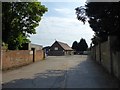
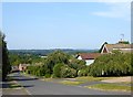
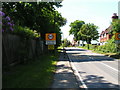
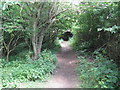
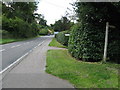
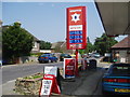


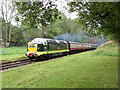
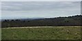
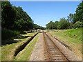
99 photos from this area
Area Information
Key information about the RH19 4PE including its size, population, and administrative classification.
- Area Type
- Postcode
- Area Size
- 1.4 hectares
- Population
- 2052
- Population Density
- 96 people/km²
House Prices in RH19 4PE
15
Properties
£379,645
Average Sold Price
£245,000
Lowest Price
£705,000
Highest Price
Showing 15 properties
| Address | Type | Beds | Baths | Last Sale Price | Last Sale Date | |
|---|---|---|---|---|---|---|
| 4 Station Road, Sharpthorne, RH19 4PE | house | - | - | £405,000 | Feb 2023 | |
| The Hobbit, Station Road, Sharpthorne, RH19 4PE | Bungalow | - | - | £500,000 | May 2022 | |
| Fairhaven, Station Road, Sharpthorne, RH19 4PE | Detached | 5 | - | £705,000 | Dec 2021 | |
| 2 Station Road, Sharpthorne, RH19 4PE | Semi-detached | 2 | 2 | £345,000 | Apr 2019 | |
| 6 Station Road, Sharpthorne, RH19 4PE | Detached | 3 | - | £365,000 | Aug 2015 | |
| Capricorn, 20 Station Road, Sharpthorne, RH19 4PE | Bungalow | 3 | - | £337,500 | Aug 2013 | |
| Ragged Robin, Station Road, Sharpthorne, RH19 4PE | Semi-detached | - | - | £245,000 | Apr 2009 | |
| 7 Station Road, Sharpthorne, RH19 4PE | Detached | 3 | 2 | £290,000 | Feb 2008 | |
| Blackbird Cottage, 1 Station Road, Sharpthorne, RH19 4PE | Semi-detached | 3 | 2 | £328,950 | Mar 2007 | |
| 5 Station Road, Sharpthorne, RH19 4PE | Detached | 4 | 2 | £275,000 | Mar 2007 |
Page 1 of 2
Energy Efficiency in RH19 4PE
Amenities
Schools
| Rank | School | Type | Entry gender | Ages |
|---|
Explore more schools in this area
Go to Schools tabDemographics
Household Size
Two person
most common
Accommodation Type
Houses
most common
Tenure
81
majority
Ethnic Group
White
most common
Religion
N/A
most common
Household Composition
N/A
most common
Age
47
median
Adults (30-64 years)
most common
Household Deprivation
N/A
with no deprivation
NS-SEC
45
in Lower managerial occupations
Explore more demographic insights in this area
Go to Demographics tabPlanning
Planning Constraints
- Flood RiskPremium
- Ramsar Wetland SitesPremium
- Area of Outstanding Natural BeautyPremium
- Protected Nature ReservePremium
- Protected WoodlandPremium