Area Overview for RH19 4EA
Photos of RH19 4EA
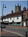
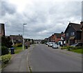
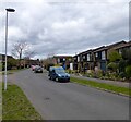
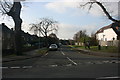
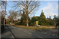
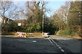
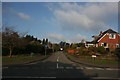
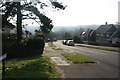
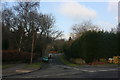
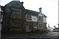
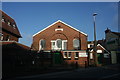
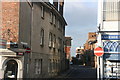
100 photos from this area
Area Information
Key information about the RH19 4EA including its size, population, and administrative classification.
- Area Type
- Postcode
- Area Size
- 8041 m²
- Population
- 1167
- Population Density
- 3724 people/km²
House Prices in RH19 4EA
15
Properties
£300,828
Average Sold Price
£235,000
Lowest Price
£425,000
Highest Price
Showing 15 properties
| Address | Type | Beds | Baths | Last Sale Price | Last Sale Date | |
|---|---|---|---|---|---|---|
| 54 Portland Road, East Grinstead, RH19 4EA | Terraced | 3 | 2 | £372,500 | Mar 2022 | |
| 46 Portland Road, East Grinstead, RH19 4EA | Bungalow | 2 | 1 | £320,000 | Apr 2017 | |
| 50 Portland Road, East Grinstead, RH19 4EA | Terraced | 2 | 1 | £249,950 | Apr 2015 | |
| 52 Portland Road, East Grinstead, RH19 4EA | Terraced | 3 | 1 | £257,500 | Feb 2015 | |
| 32 Portland Road, East Grinstead, RH19 4EA | Detached | - | - | £360,000 | Jul 2003 | |
| 18 Portland Road, East Grinstead, RH19 4EA | Detached | - | - | £425,000 | Jul 2003 | |
| 34 Portland Road, East Grinstead, RH19 4EA | Detached | - | - | £237,500 | Mar 2002 | |
| 28 Portland Road, East Grinstead, RH19 4EA | Detached | 3 | 2 | £250,000 | Oct 2001 | |
| 22 Portland Road, East Grinstead, RH19 4EA | Detached | - | - | £235,000 | Feb 1998 | |
| 20 Portland Road, East Grinstead, RH19 4EA | Detached | 6 | 3 | - | - |
Page 1 of 2
Energy Efficiency in RH19 4EA
Amenities
Schools
| Rank | School | Type | Entry gender | Ages |
|---|
Explore more schools in this area
Go to Schools tabDemographics
Household Size
One person
most common
Accommodation Type
Houses
most common
Tenure
78
majority
Ethnic Group
White
most common
Religion
N/A
most common
Household Composition
N/A
most common
Age
47
median
Adults (30-64 years)
most common
Household Deprivation
N/A
with no deprivation
NS-SEC
44
in Lower managerial occupations
Explore more demographic insights in this area
Go to Demographics tabPlanning
Planning Constraints
- Flood RiskPremium
- Ramsar Wetland SitesPremium
- Area of Outstanding Natural BeautyPremium
- Protected Nature ReservePremium
- Protected WoodlandPremium