Area Overview for RH19 3JE
Photos of RH19 3JE
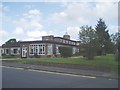
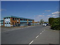
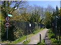

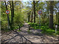
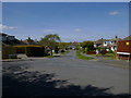
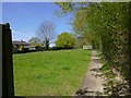
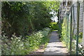

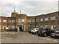
74 photos from this area
Area Information
Key information about the RH19 3JE including its size, population, and administrative classification.
- Area Type
- Postcode
- Area Size
- 7200 m²
- Population
- 1967
- Population Density
- 3935 people/km²
House Prices in RH19 3JE
17
Properties
£254,708
Average Sold Price
£115,000
Lowest Price
£560,000
Highest Price
Showing 17 properties
| Address | Type | Beds | Baths | Last Sale Price | Last Sale Date | |
|---|---|---|---|---|---|---|
| 51A Elizabeth Crescent, East Grinstead, RH19 3JE | Terraced | 2 | 1 | £315,000 | Jan 2023 | |
| 33 Elizabeth Crescent, East Grinstead, RH19 3JE | Detached | 4 | 2 | £560,000 | Aug 2018 | |
| 49 Elizabeth Crescent, East Grinstead, RH19 3JE | Semi-detached | 4 | - | £390,000 | Mar 2016 | |
| 39 Elizabeth Crescent, East Grinstead, RH19 3JE | Bungalow | 3 | - | £250,000 | Aug 2011 | |
| 41 Elizabeth Crescent, East Grinstead, RH19 3JE | Bungalow | 3 | - | £250,000 | Oct 2010 | |
| 55 Elizabeth Crescent, East Grinstead, RH19 3JE | house | - | - | £230,000 | Feb 2010 | |
| 51 Elizabeth Crescent, East Grinstead, RH19 3JE | house | - | - | £265,000 | Feb 2008 | |
| 47 Elizabeth Crescent, East Grinstead, RH19 3JE | Detached | 4 | 2 | £210,000 | Apr 2004 | |
| 37 Elizabeth Crescent, East Grinstead, RH19 3JE | Detached | - | - | £215,000 | Oct 2002 | |
| 31 Elizabeth Crescent, East Grinstead, RH19 3JE | Terraced | - | - | £132,000 | Oct 2001 |
Page 1 of 2
Energy Efficiency in RH19 3JE
Amenities
Schools
| Rank | School | Type | Entry gender | Ages |
|---|
Explore more schools in this area
Go to Schools tabDemographics
Household Size
Family (3-5 people)
most common
Accommodation Type
Houses
most common
Tenure
52
majority
Ethnic Group
White
most common
Religion
N/A
most common
Household Composition
N/A
most common
Age
47
median
Adults (30-64 years)
most common
Household Deprivation
N/A
with no deprivation
NS-SEC
29
in Lower managerial occupations
Explore more demographic insights in this area
Go to Demographics tabPlanning
Planning Constraints
- Flood RiskPremium
- Ramsar Wetland SitesPremium
- Area of Outstanding Natural BeautyPremium
- Protected Nature ReservePremium
- Protected WoodlandPremium