Area Overview for RH19 2JN
Photos of RH19 2JN


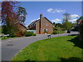
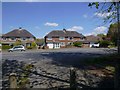
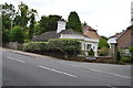
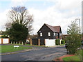
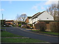
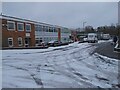


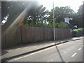
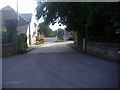
37 photos from this area
Area Information
Key information about the RH19 2JN including its size, population, and administrative classification.
- Area Type
- Postcode
- Area Size
- 8362 m²
- Population
- 1556
- Population Density
- 4055 people/km²
House Prices in RH19 2JN
10
Properties
£483,000
Average Sold Price
£353,500
Lowest Price
£760,000
Highest Price
Showing 10 properties
| Address | Type | Beds | Baths | Last Sale Price | Last Sale Date | |
|---|---|---|---|---|---|---|
| Witterings, Furzefield Road, East Grinstead, RH19 2JN | Semi-detached | 4 | 2 | £516,000 | Dec 2018 | |
| Fircroft, 41 Furzefield Road, East Grinstead, RH19 2JN | Detached | 4 | - | £760,000 | Jul 2017 | |
| Morrone, Furzefield Road, East Grinstead, RH19 2JN | house | - | - | £353,500 | Jul 2012 | |
| Cherry Cottage, Furzefield Road, East Grinstead, RH19 2JN | Detached | - | - | £394,500 | May 2005 | |
| Clare Cottage, Furzefield Road, East Grinstead, RH19 2JN | Detached | - | - | £391,000 | Aug 2004 | |
| Woodbridge, Furzefield Road, East Grinstead, RH19 2JN | Detached | - | - | - | - | |
| Ashurst, Furzefield Road, East Grinstead, RH19 2JN | Bungalow | - | - | - | - | |
| Mertony, Furzefield Road, East Grinstead, RH19 2JN | Detached | - | - | - | - | |
| Lychwood, Furzefield Road, East Grinstead, RH19 2JN | Detached | - | - | - | - | |
| Copplestone, Furzefield Road, East Grinstead, RH19 2JN | Detached | - | - | - | - |
Energy Efficiency in RH19 2JN
Amenities
Schools
| Rank | School | Type | Entry gender | Ages |
|---|
Explore more schools in this area
Go to Schools tabDemographics
Household Size
Two person
most common
Accommodation Type
Houses
most common
Tenure
91
majority
Ethnic Group
White
most common
Religion
N/A
most common
Household Composition
N/A
most common
Age
47
median
Adults (30-64 years)
most common
Household Deprivation
N/A
with no deprivation
NS-SEC
46
in Lower managerial occupations
Explore more demographic insights in this area
Go to Demographics tabPlanning
Planning Constraints
- Flood RiskPremium
- Ramsar Wetland SitesPremium
- Area of Outstanding Natural BeautyPremium
- Protected Nature ReservePremium
- Protected WoodlandPremium