Area Overview for RH19 2BD
Photos of RH19 2BD
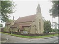
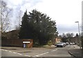
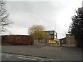
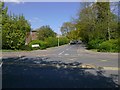

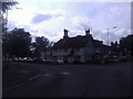
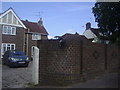
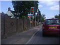
47 photos from this area
Area Information
Key information about the RH19 2BD including its size, population, and administrative classification.
- Area Type
- Postcode
- Area Size
- 5940 m²
- Population
- 1304
- Population Density
- 798 people/km²
House Prices in RH19 2BD
5
Properties
£575,400
Average Sold Price
£422,000
Lowest Price
£675,000
Highest Price
Showing 5 properties
| Address | Type | Beds | Baths | Last Sale Price | Last Sale Date | |
|---|---|---|---|---|---|---|
| Pine Lodge, Pine Grove, East Grinstead, RH19 2BD | Detached | 4 | - | £625,000 | Dec 2014 | |
| Cramond, Pine Grove, East Grinstead, RH19 2BD | house | - | - | £422,000 | Oct 2011 | |
| Chantlers, Pine Grove, East Grinstead, RH19 2BD | house | - | - | £580,000 | Apr 2011 | |
| North End Lodge, Pine Grove, East Grinstead, RH19 2BD | Detached | - | - | £575,000 | Sep 2008 | |
| Space House, Pine Grove, East Grinstead, RH19 2BD | Detached | - | - | £675,000 | Feb 2007 |
Energy Efficiency in RH19 2BD
Amenities
Schools
| Rank | School | Type | Entry gender | Ages |
|---|
Explore more schools in this area
Go to Schools tabDemographics
Household Size
Two person
most common
Accommodation Type
Houses
most common
Tenure
87
majority
Ethnic Group
White
most common
Religion
N/A
most common
Household Composition
N/A
most common
Age
47
median
Adults (30-64 years)
most common
Household Deprivation
N/A
with no deprivation
NS-SEC
43
in Lower managerial occupations
Explore more demographic insights in this area
Go to Demographics tabPlanning
Planning Constraints
- Flood RiskPremium
- Ramsar Wetland SitesPremium
- Area of Outstanding Natural BeautyPremium
- Protected Nature ReservePremium
- Protected WoodlandPremium