Area Overview for RH19 1SQ
Photos of RH19 1SQ
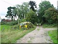
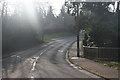
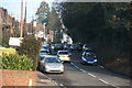
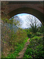
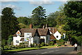
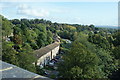
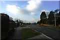
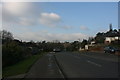
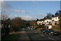
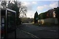
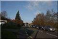
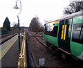
98 photos from this area
Area Information
Key information about the RH19 1SQ including its size, population, and administrative classification.
- Area Type
- Postcode
- Area Size
- 5.9 hectares
- Population
- 1643
- Population Density
- 152 people/km²
House Prices in RH19 1SQ
28
Properties
£307,018
Average Sold Price
£134,950
Lowest Price
£515,000
Highest Price
Showing 28 properties
| Address | Type | Beds | Baths | Last Sale Price | Last Sale Date | |
|---|---|---|---|---|---|---|
| 9 Tennyson Rise, East Grinstead, RH19 1SQ | Detached | 3 | 1 | £515,000 | Sep 2022 | |
| 22 Tennyson Rise, East Grinstead, RH19 1SQ | house | - | - | £485,000 | Jun 2021 | |
| 1 Tennyson Rise, East Grinstead, RH19 1SQ | house | 3 | - | £388,000 | May 2021 | |
| 3 Tennyson Rise, East Grinstead, RH19 1SQ | Semi-detached | 3 | 1 | £375,000 | Jun 2018 | |
| 18 Tennyson Rise, East Grinstead, RH19 1SQ | Semi-detached | 3 | 1 | £346,000 | Mar 2018 | |
| 19 Tennyson Rise, East Grinstead, RH19 1SQ | Detached | 5 | 2 | £470,000 | Jul 2017 | |
| 12 Tennyson Rise, East Grinstead, RH19 1SQ | Semi-detached | 3 | - | £365,000 | Feb 2017 | |
| 24 Tennyson Rise, East Grinstead, RH19 1SQ | Detached | 3 | - | £402,500 | Nov 2016 | |
| 23 Tennyson Rise, East Grinstead, RH19 1SQ | Detached | 4 | - | £340,000 | Aug 2015 | |
| 27 Tennyson Rise, East Grinstead, RH19 1SQ | house | - | - | £380,000 | May 2013 |
Page 1 of 3
Energy Efficiency in RH19 1SQ
Amenities
Schools
| Rank | School | Type | Entry gender | Ages |
|---|
Explore more schools in this area
Go to Schools tabDemographics
Household Size
Two person
most common
Accommodation Type
Houses
most common
Tenure
90
majority
Ethnic Group
White
most common
Religion
N/A
most common
Household Composition
N/A
most common
Age
47
median
Adults (30-64 years)
most common
Household Deprivation
N/A
with no deprivation
NS-SEC
47
in Lower managerial occupations
Explore more demographic insights in this area
Go to Demographics tabPlanning
Planning Constraints
- Flood RiskPremium
- Ramsar Wetland SitesPremium
- Area of Outstanding Natural BeautyPremium
- Protected Nature ReservePremium
- Protected WoodlandPremium