Area Overview for RH17 7AF
Photos of RH17 7AF

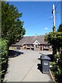
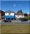

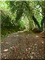
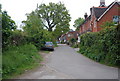
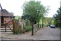
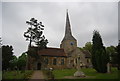
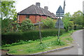

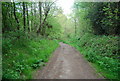
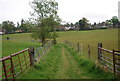
100 photos from this area
Area Information
Key information about the RH17 7AF including its size, population, and administrative classification.
- Area Type
- Postcode
- Area Size
- 1.8 hectares
- Population
- 1375
- Population Density
- 133 people/km²
House Prices in RH17 7AF
17
Properties
£442,729
Average Sold Price
£107,500
Lowest Price
£1,179,000
Highest Price
Showing 17 properties
| Address | Type | Beds | Baths | Last Sale Price | Last Sale Date | |
|---|---|---|---|---|---|---|
| Nutfield Cottage, Chapel Lane, Horsted Keynes, RH17 7AF | Semi-detached | 2 | 1 | £500,000 | Aug 2025 | |
| Smyrna Villa, Chapel Lane, Horsted Keynes, RH17 7AF | Semi-detached | 3 | 1 | £685,000 | Jun 2024 | |
| 1, Salisbury Cottages, Chapel Lane, Horsted Keynes, RH17 7AF | Detached | 3 | 2 | £465,000 | Feb 2024 | |
| Chapel House, Chapel Lane, Horsted Keynes, RH17 7AF | house | - | - | £698,000 | Jul 2019 | |
| 2, Salisbury Cottages, Chapel Lane, Horsted Keynes, RH17 7AF | house | - | - | £446,430 | Mar 2017 | |
| Yew Lodge, Chapel Lane, Horsted Keynes, RH17 7AF | house | 4 | 2 | £1,179,000 | Jul 2016 | |
| Weldon, Chapel Lane, Horsted Keynes, RH17 7AF | Detached | 4 | 2 | £590,000 | Mar 2016 | |
| 2, Prospect Cottages, Chapel Lane, Horsted Keynes, RH17 7AF | house | - | - | £335,000 | Jan 2010 | |
| Briar Patch, Chapel Lane, Horsted Keynes, RH17 7AF | Detached | 5 | 2 | £405,000 | Sep 2008 | |
| The Old Workshop, Chapel Lane, Horsted Keynes, RH17 7AF | house | 2 | 1 | £335,000 | Dec 2007 |
Page 1 of 2
Energy Efficiency in RH17 7AF
Amenities
Schools
| Rank | School | Type | Entry gender | Ages |
|---|
Explore more schools in this area
Go to Schools tabDemographics
Household Size
Two person
most common
Accommodation Type
Houses
most common
Tenure
79
majority
Ethnic Group
White
most common
Religion
N/A
most common
Household Composition
N/A
most common
Age
47
median
Adults (30-64 years)
most common
Household Deprivation
N/A
with no deprivation
NS-SEC
47
in Lower managerial occupations
Explore more demographic insights in this area
Go to Demographics tabPlanning
Planning Constraints
- Flood RiskPremium
- Ramsar Wetland SitesPremium
- Area of Outstanding Natural BeautyPremium
- Protected Nature ReservePremium
- Protected WoodlandPremium