Area Overview for RH17 6UF
Photos of RH17 6UF
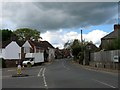
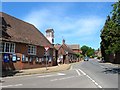
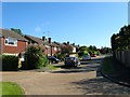
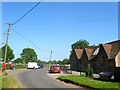
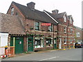
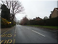
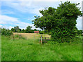
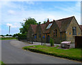
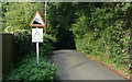
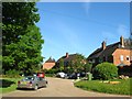
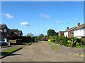
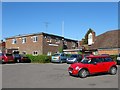
100 photos from this area
Area Information
Key information about the RH17 6UF including its size, population, and administrative classification.
- Area Type
- Postcode
- Area Size
- 8.6 hectares
- Population
- 1878
- Population Density
- 117 people/km²
House Prices in RH17 6UF
50
Properties
£261,480
Average Sold Price
£67,000
Lowest Price
£500,000
Highest Price
Showing 50 properties
| Address | Type | Beds | Baths | Last Sale Price | Last Sale Date | |
|---|---|---|---|---|---|---|
| 35 Gowers Close, Ardingly, RH17 6UF | house | 3 | - | £500,000 | Jan 2023 | |
| 31 Gowers Close, Ardingly, RH17 6UF | house | 3 | 2 | £450,000 | Aug 2022 | |
| 15A Gowers Close, Ardingly, RH17 6UF | Terraced | 3 | 1 | £420,000 | Dec 2021 | |
| 30 Gowers Close, Ardingly, RH17 6UF | house | - | - | £310,000 | Mar 2021 | |
| 41 Gowers Close, Ardingly, RH17 6UF | house | - | - | £312,000 | Mar 2020 | |
| 13 Gowers Close, Ardingly, RH17 6UF | house | - | - | £340,000 | Apr 2019 | |
| 2 Gowers Close, Ardingly, RH17 6UF | Semi-detached | 3 | - | £332,250 | Aug 2014 | |
| 16 Gowers Close, Ardingly, RH17 6UF | Terraced | 3 | - | £248,000 | Oct 2013 | |
| 15 Gowers Close, Ardingly, RH17 6UF | Terraced | 3 | - | £233,500 | May 2008 | |
| 6 Gowers Close, Ardingly, RH17 6UF | Semi-detached | - | - | £192,000 | Dec 2002 |
Page 1 of 5
Energy Efficiency in RH17 6UF
Amenities
Schools
| Rank | School | Type | Entry gender | Ages |
|---|
Explore more schools in this area
Go to Schools tabDemographics
Household Size
Two person
most common
Accommodation Type
Houses
most common
Tenure
71
majority
Ethnic Group
White
most common
Religion
N/A
most common
Household Composition
N/A
most common
Age
47
median
Adults (30-64 years)
most common
Household Deprivation
N/A
with no deprivation
NS-SEC
42
in Lower managerial occupations
Explore more demographic insights in this area
Go to Demographics tabPlanning
Planning Constraints
- Flood RiskPremium
- Ramsar Wetland SitesPremium
- Area of Outstanding Natural BeautyPremium
- Protected Nature ReservePremium
- Protected WoodlandPremium