Area Overview for RH17 6JN
Photos of RH17 6JN
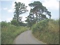
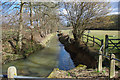
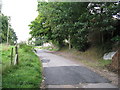
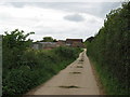
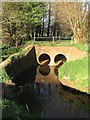
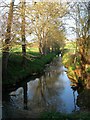
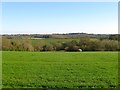
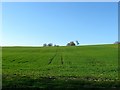
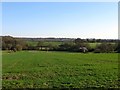
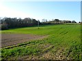
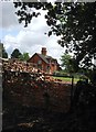
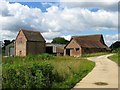
62 photos from this area
Area Information
Key information about the RH17 6JN including its size, population, and administrative classification.
- Area Type
- Postcode
- Area Size
- 1.7 km²
- Population
- 1903
- Population Density
- 90 people/km²
House Prices in RH17 6JN
18
Properties
-
Average Sold Price
-
Lowest Price
-
Highest Price
Showing 18 properties
| Address | Type | Beds | Baths | Last Sale Price | Last Sale Date | |
|---|---|---|---|---|---|---|
| Room 1, Pilstye Farm House, Rowhill Lane, Balcombe, RH17 6JN | Detached | 3 | 1 | - | - | |
| Room 2, Pilstye Farm House, Rowhill Lane, Balcombe, RH17 6JN | Unknown | - | - | - | - | |
| Room 3, Pilstye Farm House, Rowhill Lane, Balcombe, RH17 6JN | Unknown | - | - | - | - | |
| Room 4, Pilstye Farm House, Rowhill Lane, Balcombe, RH17 6JN | Unknown | - | - | - | - | |
| Room 5, Pilstye Farm House, Rowhill Lane, Balcombe, RH17 6JN | Unknown | - | - | - | - | |
| Room 6, Pilstye Farm House, Rowhill Lane, Balcombe, RH17 6JN | Unknown | - | - | - | - | |
| Room 7, Pilstye Farm House, Rowhill Lane, Balcombe, RH17 6JN | Unknown | - | - | - | - | |
| Caravan 3, Pilstye Farm Drive, London Road, Balcombe, RH17 6JN | Mobile Home | - | - | - | - | |
| Caravan 1, Pilstye Farm Drive, London Road, Balcombe, RH17 6JN | Mobile Home | - | - | - | - | |
| Pilstye Farmhouse, Rowhill Lane, Balcombe, RH17 6JN | Detached | - | - | - | - |
Page 1 of 2
Energy Efficiency in RH17 6JN
Amenities
Schools
| Rank | School | Type | Entry gender | Ages |
|---|
Explore more schools in this area
Go to Schools tabDemographics
Household Size
Family (3-5 people)
most common
Accommodation Type
Houses
most common
Tenure
62
majority
Ethnic Group
White
most common
Religion
N/A
most common
Household Composition
N/A
most common
Age
47
median
Adults (30-64 years)
most common
Household Deprivation
N/A
with no deprivation
NS-SEC
48
in Lower managerial occupations
Explore more demographic insights in this area
Go to Demographics tabPlanning
Planning Constraints
- Flood RiskPremium
- Ramsar Wetland SitesPremium
- Area of Outstanding Natural BeautyPremium
- Protected Nature ReservePremium
- Protected WoodlandPremium