Area Overview for RH17 5HT
Photos of RH17 5HT
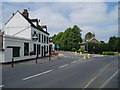
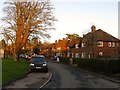
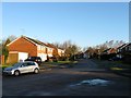
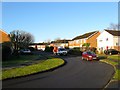
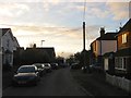
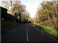
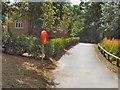
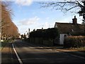
100 photos from this area
Area Information
Key information about the RH17 5HT including its size, population, and administrative classification.
- Area Type
- Postcode
- Area Size
- 9090 m²
- Population
- 1638
- Population Density
- 1705 people/km²
House Prices in RH17 5HT
21
Properties
£190,454
Average Sold Price
£71,000
Lowest Price
£340,000
Highest Price
Showing 21 properties
| Address | Type | Beds | Baths | Last Sale Price | Last Sale Date | |
|---|---|---|---|---|---|---|
| 14 Burrell Green, Cuckfield, RH17 5HT | house | 2 | - | £340,000 | Aug 2022 | |
| 18 Burrell Green, Cuckfield, RH17 5HT | Terraced | 2 | 1 | £300,000 | Dec 2020 | |
| 16 Burrell Green, Cuckfield, RH17 5HT | Terraced | 2 | 2 | £298,000 | Jul 2019 | |
| 17 Burrell Green, Cuckfield, RH17 5HT | Semi-detached | 2 | - | £300,000 | May 2017 | |
| 21 Burrell Green, Cuckfield, RH17 5HT | house | - | - | £317,500 | Oct 2015 | |
| 20 Burrell Green, Cuckfield, RH17 5HT | Detached | 2 | 1 | £147,000 | Sep 2002 | |
| 12 Burrell Green, Cuckfield, RH17 5HT | Terraced | - | - | £159,000 | Apr 2002 | |
| 23 Burrell Green, Cuckfield, RH17 5HT | house | - | - | £94,950 | Aug 1998 | |
| 10 Burrell Green, Cuckfield, RH17 5HT | Terraced | - | - | £71,000 | May 1997 | |
| 11 Burrell Green, Cuckfield, RH17 5HT | Detached | - | - | £102,000 | Nov 1995 |
Page 1 of 3
Energy Efficiency in RH17 5HT
Amenities
Schools
| Rank | School | Type | Entry gender | Ages |
|---|
Explore more schools in this area
Go to Schools tabDemographics
Household Size
Family (3-5 people)
most common
Accommodation Type
Houses
most common
Tenure
67
majority
Ethnic Group
White
most common
Religion
N/A
most common
Household Composition
N/A
most common
Age
47
median
Adults (30-64 years)
most common
Household Deprivation
N/A
with no deprivation
NS-SEC
44
in Lower managerial occupations
Explore more demographic insights in this area
Go to Demographics tabPlanning
Planning Constraints
- Flood RiskPremium
- Ramsar Wetland SitesPremium
- Area of Outstanding Natural BeautyPremium
- Protected Nature ReservePremium
- Protected WoodlandPremium