Area Overview for RH17 5EX
Photos of RH17 5EX

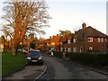
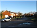
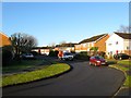
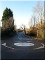


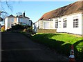
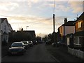

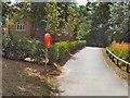
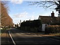
100 photos from this area
Area Information
Key information about the RH17 5EX including its size, population, and administrative classification.
- Area Type
- Postcode
- Area Size
- 5175 m²
- Population
- 1638
- Population Density
- 1705 people/km²
House Prices in RH17 5EX
15
Properties
£408,750
Average Sold Price
£265,000
Lowest Price
£625,000
Highest Price
Showing 15 properties
| Address | Type | Beds | Baths | Last Sale Price | Last Sale Date | |
|---|---|---|---|---|---|---|
| 2, Provident Cottages, Brainsmead, Cuckfield, RH17 5EX | Terraced | 2 | 1 | £395,000 | Sep 2024 | |
| Fern Cottage, Brainsmead, Cuckfield, RH17 5EX | Character Property | 4 | 2 | £625,000 | Aug 2023 | |
| Beechcroft, Brainsmead, Cuckfield, RH17 5EX | house | 2 | 1 | £600,000 | May 2023 | |
| Magnolia, Brainsmead, Cuckfield, RH17 5EX | house | - | - | £515,000 | Nov 2021 | |
| Myrtle Corner, Brainsmead, Cuckfield, RH17 5EX | house | 3 | - | £345,000 | Aug 2019 | |
| Melbury Cottage, Brainsmead, Cuckfield, RH17 5EX | Cottage | 2 | - | £320,000 | Dec 2014 | |
| 1, Provident Cottages, Brainsmead, Cuckfield, RH17 5EX | house | - | - | £295,000 | Jun 2014 | |
| Ash Cottage, Brainsmead, Cuckfield, RH17 5EX | Detached | 3 | 1 | £305,000 | Jun 2013 | |
| Pooh Corner, Brainsmead, Cuckfield, RH17 5EX | house | - | - | £422,500 | Dec 2004 | |
| Honeysuckle Cottage, Brainsmead, Cuckfield, RH17 5EX | house | 2 | 1 | £265,000 | Sep 2004 |
Page 1 of 2
Energy Efficiency in RH17 5EX
Amenities
Schools
| Rank | School | Type | Entry gender | Ages |
|---|
Explore more schools in this area
Go to Schools tabDemographics
Household Size
Family (3-5 people)
most common
Accommodation Type
Houses
most common
Tenure
67
majority
Ethnic Group
White
most common
Religion
N/A
most common
Household Composition
N/A
most common
Age
47
median
Adults (30-64 years)
most common
Household Deprivation
N/A
with no deprivation
NS-SEC
44
in Lower managerial occupations
Explore more demographic insights in this area
Go to Demographics tabPlanning
Planning Constraints
- Flood RiskPremium
- Ramsar Wetland SitesPremium
- Area of Outstanding Natural BeautyPremium
- Protected Nature ReservePremium
- Protected WoodlandPremium