Area Overview for RH17 5AS
Photos of RH17 5AS
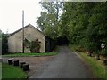
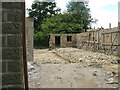
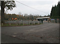
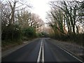
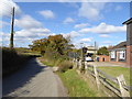
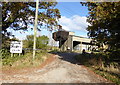
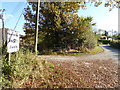
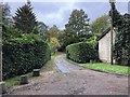
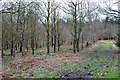
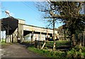
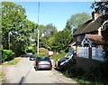
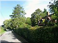
61 photos from this area
Area Information
Key information about the RH17 5AS including its size, population, and administrative classification.
- Area Type
- Postcode
- Area Size
- 72.4 hectares
- Population
- 1429
- Population Density
- 178 people/km²
House Prices in RH17 5AS
32
Properties
£985,500
Average Sold Price
£191,000
Lowest Price
£4,000,000
Highest Price
Showing 32 properties
| Address | Type | Beds | Baths | Last Sale Price | Last Sale Date | |
|---|---|---|---|---|---|---|
| Holly Bank, Deaks Lane, Ansty, RH17 5AS | Bungalow | 3 | 2 | £665,000 | Dec 2025 | |
| Thickets, Deaks Lane, Ansty, RH17 5AS | Semi-detached | 3 | 1 | £755,000 | Mar 2025 | |
| Hoadsherf Farm, Deaks Lane, Ansty, RH17 5AS | Detached | - | - | £4,000,000 | Mar 2022 | |
| Cherry Tree Cottage, Deaks Lane, Ansty, RH17 5AS | house | - | - | £990,000 | Jan 2022 | |
| Linden House, Deaks Lane, Ansty, RH17 5AS | Detached | 4 | 3 | £1,140,000 | Jan 2021 | |
| Westmeads, Deaks Lane, Ansty, RH17 5AS | Bungalow | - | - | £565,000 | Mar 2020 | |
| Apple Tree Cottage, Deaks Lane, Ansty, RH17 5AS | house | - | - | £1,000,000 | Aug 2018 | |
| Woodlands, Deaks Lane, Ansty, RH17 5AS | house | - | - | £250,000 | Sep 2011 | |
| Stumblewood, Deaks Lane, Ansty, RH17 5AS | Bungalow | 4 | - | £550,000 | Oct 2007 | |
| Green Acres, Deaks Lane, Ansty, RH17 5AS | Semi-detached | 2 | - | £925,000 | May 2007 |
Page 1 of 4
Energy Efficiency in RH17 5AS
Amenities
Schools
| Rank | School | Type | Entry gender | Ages |
|---|
Explore more schools in this area
Go to Schools tabDemographics
Household Size
Two person
most common
Accommodation Type
Houses
most common
Tenure
76
majority
Ethnic Group
White
most common
Religion
N/A
most common
Household Composition
N/A
most common
Age
47
median
Adults (30-64 years)
most common
Household Deprivation
N/A
with no deprivation
NS-SEC
53
in Lower managerial occupations
Explore more demographic insights in this area
Go to Demographics tabPlanning
Planning Constraints
- Flood RiskPremium
- Ramsar Wetland SitesPremium
- Area of Outstanding Natural BeautyPremium
- Protected Nature ReservePremium
- Protected WoodlandPremium