Area Overview for RH16 4RN
Photos of RH16 4RN
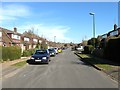
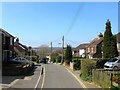
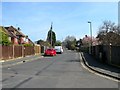
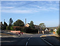
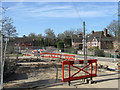
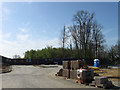
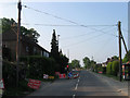
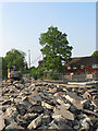

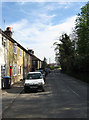
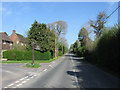
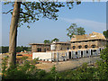
68 photos from this area
Area Information
Key information about the RH16 4RN including its size, population, and administrative classification.
- Area Type
- Postcode
- Area Size
- 2.1 hectares
- Population
- 1644
- Population Density
- 1513 people/km²
House Prices in RH16 4RN
15
Properties
£667,837
Average Sold Price
£457,359
Lowest Price
£1,130,000
Highest Price
Showing 15 properties
| Address | Type | Beds | Baths | Last Sale Price | Last Sale Date | |
|---|---|---|---|---|---|---|
| Thurlestone, Rocky Lane, Haywards Heath, RH16 4RN | Semi-detached | 4 | 2 | £457,359 | Jul 2020 | |
| Briar Leigh, Rocky Lane, Haywards Heath, RH16 4RN | Detached | 5 | 2 | £640,000 | Oct 2018 | |
| Tanswell House, Rocky Lane, Haywards Heath, RH16 4RN | Semi-detached | 4 | 2 | £805,000 | Feb 2017 | |
| Winter Hill House, Rocky Lane, Haywards Heath, RH16 4RN | Detached | 7 | - | £1,130,000 | Feb 2013 | |
| Holly House, Rocky Lane, Haywards Heath, RH16 4RN | Detached | - | - | £685,000 | Jul 2007 | |
| Alwinton, Rocky Lane, Haywards Heath, RH16 4RN | Detached | - | - | £497,500 | Aug 2004 | |
| Weald Ridge, Rocky Lane, Haywards Heath, RH16 4RN | Detached | 6 | 4 | £460,000 | Oct 2003 | |
| The Limes, Rocky Lane, Haywards Heath, RH16 4RN | Semi-detached | 2 | 1 | - | - | |
| 1, Stirling Lodge, Rocky Lane, Haywards Heath, RH16 4RN | Detached | 4 | 2 | - | - | |
| Cranley, Rocky Lane, Haywards Heath, RH16 4RN | Semi-detached | 3 | - | - | - |
Page 1 of 2
Energy Efficiency in RH16 4RN
Amenities
Schools
| Rank | School | Type | Entry gender | Ages |
|---|
Explore more schools in this area
Go to Schools tabDemographics
Household Size
Family (3-5 people)
most common
Accommodation Type
Houses
most common
Tenure
86
majority
Ethnic Group
White
most common
Religion
N/A
most common
Household Composition
N/A
most common
Age
47
median
Adults (30-64 years)
most common
Household Deprivation
N/A
with no deprivation
NS-SEC
55
in Lower managerial occupations
Explore more demographic insights in this area
Go to Demographics tabPlanning
Planning Constraints
- Flood RiskPremium
- Ramsar Wetland SitesPremium
- Area of Outstanding Natural BeautyPremium
- Protected Nature ReservePremium
- Protected WoodlandPremium