Area Overview for RH16 4JB
Photos of RH16 4JB
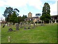
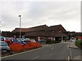
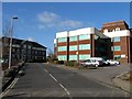
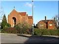
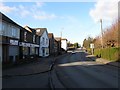
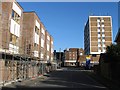
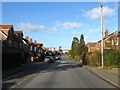
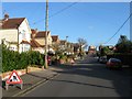
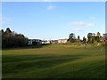
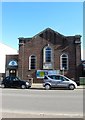
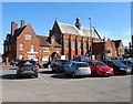
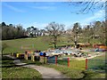
100 photos from this area
Area Information
Key information about the RH16 4JB including its size, population, and administrative classification.
- Area Type
- Postcode
- Area Size
- 1.9 hectares
- Population
- 2616
- Population Density
- 5788 people/km²
House Prices in RH16 4JB
39
Properties
£433,379
Average Sold Price
£72,500
Lowest Price
£845,000
Highest Price
Showing 39 properties
| Address | Type | Beds | Baths | Last Sale Price | Last Sale Date | |
|---|---|---|---|---|---|---|
| 68 Haywards Road, Haywards Heath, RH16 4JB | Semi-detached | 3 | 1 | £518,000 | May 2025 | |
| 70 Haywards Road, Haywards Heath, RH16 4JB | Detached | 5 | 2 | £845,000 | Jun 2024 | |
| 74 Haywards Road, Haywards Heath, RH16 4JB | house | - | - | £755,000 | Dec 2022 | |
| 78 Haywards Road, Haywards Heath, RH16 4JB | Semi-detached | 3 | - | £500,500 | Sep 2021 | |
| 94A Haywards Road, Haywards Heath, RH16 4JB | Flat | - | - | £220,000 | Jul 2021 | |
| 54 Haywards Road, Haywards Heath, RH16 4JB | Semi-detached | 5 | 2 | £685,000 | Jul 2020 | |
| 104 Haywards Road, Haywards Heath, RH16 4JB | Detached | 4 | 2 | £712,000 | Sep 2019 | |
| 100 Haywards Road, Haywards Heath, RH16 4JB | Detached | 4 | 2 | £654,000 | Nov 2018 | |
| 52 Haywards Road, Haywards Heath, RH16 4JB | house | 4 | - | £675,000 | Jun 2016 | |
| 72 Haywards Road, Haywards Heath, RH16 4JB | house | 3 | - | £405,000 | Aug 2015 |
Page 1 of 4
Energy Efficiency in RH16 4JB
Amenities
Schools
| Rank | School | Type | Entry gender | Ages |
|---|
Explore more schools in this area
Go to Schools tabDemographics
Household Size
One person
most common
Accommodation Type
Houses
most common
Tenure
61
majority
Ethnic Group
White
most common
Religion
N/A
most common
Household Composition
N/A
most common
Age
47
median
Adults (30-64 years)
most common
Household Deprivation
N/A
with no deprivation
NS-SEC
43
in Lower managerial occupations
Explore more demographic insights in this area
Go to Demographics tabPlanning
Planning Constraints
- Flood RiskPremium
- Ramsar Wetland SitesPremium
- Area of Outstanding Natural BeautyPremium
- Protected Nature ReservePremium
- Protected WoodlandPremium