Area Overview for RH16 2SY
Photos of RH16 2SY
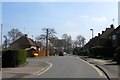
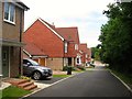
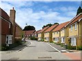
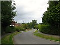
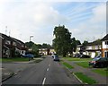
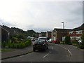
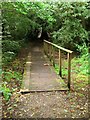
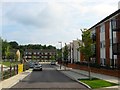
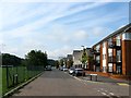
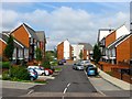
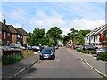
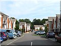
100 photos from this area
Area Information
Key information about the RH16 2SY including its size, population, and administrative classification.
- Area Type
- Postcode
- Area Size
- 2.0 hectares
- Population
- 2497
- Population Density
- 2691 people/km²
House Prices in RH16 2SY
23
Properties
£475,400
Average Sold Price
£159,950
Lowest Price
£850,000
Highest Price
Showing 23 properties
| Address | Type | Beds | Baths | Last Sale Price | Last Sale Date | |
|---|---|---|---|---|---|---|
| 22 The Platt, Lindfield, RH16 2SY | Detached | 5 | 3 | £850,000 | Jul 2023 | |
| 1 The Platt, Lindfield, RH16 2SY | Bungalow | - | - | £580,000 | Jun 2021 | |
| 10 The Platt, Lindfield, RH16 2SY | house | - | - | £520,000 | Feb 2021 | |
| 17 The Platt, Lindfield, RH16 2SY | house | - | - | £671,000 | Jan 2021 | |
| 28 The Platt, Lindfield, RH16 2SY | house | - | - | £573,000 | Oct 2020 | |
| 8 The Platt, Lindfield, RH16 2SY | Detached | 3 | 2 | £525,000 | Mar 2020 | |
| 20 The Platt, Lindfield, RH16 2SY | house | 4 | 3 | £730,000 | May 2018 | |
| 15 The Platt, Lindfield, RH16 2SY | house | - | - | £579,950 | Nov 2015 | |
| 3 The Platt, Lindfield, RH16 2SY | Bungalow | 3 | - | £340,000 | Jul 2013 | |
| 11 The Platt, Lindfield, RH16 2SY | Detached | 4 | - | £480,000 | Jun 2012 |
Page 1 of 3
Energy Efficiency in RH16 2SY
Amenities
Schools
| Rank | School | Type | Entry gender | Ages |
|---|
Explore more schools in this area
Go to Schools tabDemographics
Household Size
Family (3-5 people)
most common
Accommodation Type
Houses
most common
Tenure
89
majority
Ethnic Group
White
most common
Religion
N/A
most common
Household Composition
N/A
most common
Age
47
median
Adults (30-64 years)
most common
Household Deprivation
N/A
with no deprivation
NS-SEC
55
in Lower managerial occupations
Explore more demographic insights in this area
Go to Demographics tabPlanning
Planning Constraints
- Flood RiskPremium
- Ramsar Wetland SitesPremium
- Area of Outstanding Natural BeautyPremium
- Protected Nature ReservePremium
- Protected WoodlandPremium