Area Overview for RH16 2NX
Photos of RH16 2NX
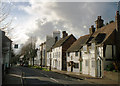
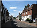
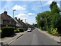
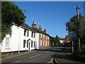
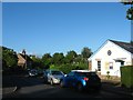
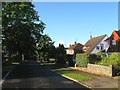
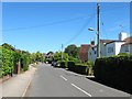
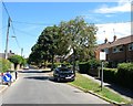
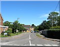
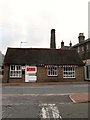
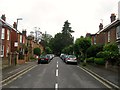
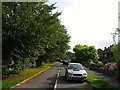
99 photos from this area
Area Information
Key information about the RH16 2NX including its size, population, and administrative classification.
- Area Type
- Postcode
- Area Size
- 2.1 hectares
- Population
- 1811
- Population Density
- 2527 people/km²
House Prices in RH16 2NX
18
Properties
£555,750
Average Sold Price
£211,000
Lowest Price
£1,200,000
Highest Price
Showing 18 properties
| Address | Type | Beds | Baths | Last Sale Price | Last Sale Date | |
|---|---|---|---|---|---|---|
| 28 Savill Road, Lindfield, RH16 2NX | house | 4 | - | £900,000 | Jun 2025 | |
| 4 Savill Road, Lindfield, RH16 2NX | house | - | - | £752,000 | May 2023 | |
| 26 Savill Road, Lindfield, RH16 2NX | Detached | 4 | 1 | £715,000 | Feb 2023 | |
| 12 Savill Road, Lindfield, RH16 2NX | house | 4 | 2 | £1,200,000 | Nov 2022 | |
| 34 Savill Road, Lindfield, RH16 2NX | house | - | - | £580,000 | Jun 2021 | |
| 38 Savill Road, Lindfield, RH16 2NX | house | - | - | £600,000 | Jun 2021 | |
| 30 Savill Road, Lindfield, RH16 2NX | house | - | - | £497,750 | Jul 2015 | |
| 36 Savill Road, Lindfield, RH16 2NX | Detached | 4 | - | £410,000 | Aug 2013 | |
| 20 Savill Road, Lindfield, RH16 2NX | house | 4 | - | £424,000 | Jan 2013 | |
| 32 Savill Road, Lindfield, RH16 2NX | house | - | - | £375,000 | Sep 2009 |
Page 1 of 2
Energy Efficiency in RH16 2NX
Amenities
Schools
| Rank | School | Type | Entry gender | Ages |
|---|
Explore more schools in this area
Go to Schools tabDemographics
Household Size
Family (3-5 people)
most common
Accommodation Type
Houses
most common
Tenure
83
majority
Ethnic Group
White
most common
Religion
N/A
most common
Household Composition
N/A
most common
Age
47
median
Adults (30-64 years)
most common
Household Deprivation
N/A
with no deprivation
NS-SEC
54
in Lower managerial occupations
Explore more demographic insights in this area
Go to Demographics tabPlanning
Planning Constraints
- Flood RiskPremium
- Ramsar Wetland SitesPremium
- Area of Outstanding Natural BeautyPremium
- Protected Nature ReservePremium
- Protected WoodlandPremium