Area Overview for RH15 9XP
Photos of RH15 9XP
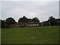
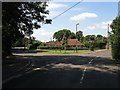
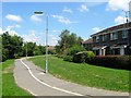
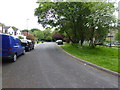
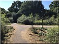
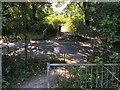
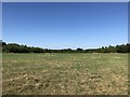
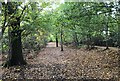
57 photos from this area
Area Information
Key information about the RH15 9XP including its size, population, and administrative classification.
- Area Type
- Postcode
- Area Size
- 3.8 hectares
- Population
- Not available
- Population Density
- Not available
House Prices in RH15 9XP
46
Properties
£328,284
Average Sold Price
£99,000
Lowest Price
£610,000
Highest Price
Showing 46 properties
| Address | Type | Beds | Baths | Last Sale Price | Last Sale Date | |
|---|---|---|---|---|---|---|
| 25 The Oaks, Burgess Hill, RH15 9XP | Semi-detached | 3 | 2 | £435,000 | Mar 2025 | |
| 30 The Oaks, Burgess Hill, RH15 9XP | Detached | 4 | 2 | £507,000 | Aug 2024 | |
| 37 The Oaks, Burgess Hill, RH15 9XP | house | - | - | £610,000 | Nov 2022 | |
| 8 The Oaks, Burgess Hill, RH15 9XP | Detached | 4 | - | £510,000 | Oct 2021 | |
| 45 The Oaks, Burgess Hill, RH15 9XP | house | - | - | £560,000 | Jun 2021 | |
| 17 The Oaks, Burgess Hill, RH15 9XP | house | - | - | £519,950 | Dec 2020 | |
| 3 The Oaks, Burgess Hill, RH15 9XP | house | - | - | £537,500 | Oct 2019 | |
| 31 The Oaks, Burgess Hill, RH15 9XP | Detached | 4 | 2 | £460,000 | Aug 2019 | |
| 20 The Oaks, Burgess Hill, RH15 9XP | Semi-detached | 4 | 2 | £420,000 | Apr 2019 | |
| 11 The Oaks, Burgess Hill, RH15 9XP | Detached | 3 | 2 | £360,000 | Feb 2019 |
Page 1 of 5
Energy Efficiency in RH15 9XP
Amenities
Schools
| Rank | School | Type | Entry gender | Ages |
|---|
Explore more schools in this area
Go to Schools tabDemographics
Household Size
Family (3-5 people)
most common
Accommodation Type
Houses
most common
Tenure
87
majority
Ethnic Group
White
most common
Religion
N/A
most common
Household Composition
N/A
most common
Age
47
median
Adults (30-64 years)
most common
Household Deprivation
N/A
with no deprivation
NS-SEC
46
in Lower managerial occupations
Explore more demographic insights in this area
Go to Demographics tabPlanning
Planning Constraints
- Flood RiskPremium
- Ramsar Wetland SitesPremium
- Area of Outstanding Natural BeautyPremium
- Protected Nature ReservePremium
- Protected WoodlandPremium