Area Overview for RH15 9UU
Photos of RH15 9UU
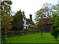
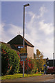
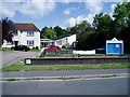
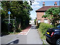
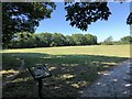
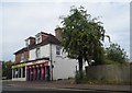
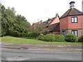
38 photos from this area
Area Information
Key information about the RH15 9UU including its size, population, and administrative classification.
- Area Type
- Postcode
- Area Size
- 1.3 hectares
- Population
- 1651
- Population Density
- 3007 people/km²
House Prices in RH15 9UU
52
Properties
£246,744
Average Sold Price
£63,995
Lowest Price
£420,000
Highest Price
Showing 52 properties
| Address | Type | Beds | Baths | Last Sale Price | Last Sale Date | |
|---|---|---|---|---|---|---|
| 11 Payton Drive, Burgess Hill, RH15 9UU | Terraced | 3 | 1 | £362,000 | Jul 2025 | |
| 54 Payton Drive, Burgess Hill, RH15 9UU | Terraced | 2 | 1 | £310,000 | May 2025 | |
| 42 Payton Drive, Burgess Hill, RH15 9UU | Terraced | 2 | 1 | £320,000 | Aug 2024 | |
| 45 Payton Drive, Burgess Hill, RH15 9UU | Terraced | 2 | 2 | £325,000 | May 2024 | |
| 29 Payton Drive, Burgess Hill, RH15 9UU | Detached | 2 | 1 | £338,000 | Apr 2024 | |
| 14 Payton Drive, Burgess Hill, RH15 9UU | Terraced | 2 | 1 | £323,000 | May 2023 | |
| 25 Payton Drive, Burgess Hill, RH15 9UU | house | - | - | £375,000 | Apr 2023 | |
| 27 Payton Drive, Burgess Hill, RH15 9UU | house | - | - | £370,000 | Mar 2023 | |
| 17 Payton Drive, Burgess Hill, RH15 9UU | Terraced | 2 | 1 | £327,000 | Jan 2023 | |
| 10 Payton Drive, Burgess Hill, RH15 9UU | Terraced | 2 | 1 | £324,000 | Dec 2022 |
Page 1 of 6
Energy Efficiency in RH15 9UU
Amenities
Schools
| Rank | School | Type | Entry gender | Ages |
|---|
Explore more schools in this area
Go to Schools tabDemographics
Household Size
Family (3-5 people)
most common
Accommodation Type
Houses
most common
Tenure
84
majority
Ethnic Group
White
most common
Religion
N/A
most common
Household Composition
N/A
most common
Age
47
median
Adults (30-64 years)
most common
Household Deprivation
N/A
with no deprivation
NS-SEC
47
in Lower managerial occupations
Explore more demographic insights in this area
Go to Demographics tabPlanning
Planning Constraints
- Flood RiskPremium
- Ramsar Wetland SitesPremium
- Area of Outstanding Natural BeautyPremium
- Protected Nature ReservePremium
- Protected WoodlandPremium