Area Overview for RH15 9PS
Photos of RH15 9PS
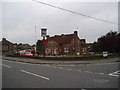
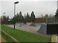
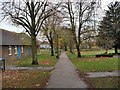
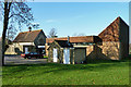
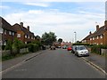
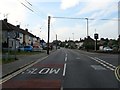
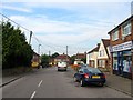
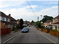
40 photos from this area
Area Information
Key information about the RH15 9PS including its size, population, and administrative classification.
- Area Type
- Postcode
- Area Size
- 3715 m²
- Population
- 1901
- Population Density
- 3428 people/km²
House Prices in RH15 9PS
10
Properties
£335,833
Average Sold Price
£159,000
Lowest Price
£435,000
Highest Price
Showing 10 properties
| Address | Type | Beds | Baths | Last Sale Price | Last Sale Date | |
|---|---|---|---|---|---|---|
| 209 Orchard Road, Burgess Hill, RH15 9PS | Semi-detached | 3 | 1 | £435,000 | Feb 2024 | |
| 201 Orchard Road, Burgess Hill, RH15 9PS | Semi-detached | 3 | 1 | £430,000 | Oct 2023 | |
| 207 Orchard Road, Burgess Hill, RH15 9PS | Semi-detached | 3 | 1 | £310,000 | Aug 2018 | |
| 195 Orchard Road, Burgess Hill, RH15 9PS | Semi-detached | 4 | 2 | £396,000 | May 2017 | |
| 199 Orchard Road, Burgess Hill, RH15 9PS | house | - | - | £285,000 | Jul 2015 | |
| 203 Orchard Road, Burgess Hill, RH15 9PS | Semi-detached | - | - | £159,000 | Mar 2002 | |
| 191 Orchard Road, Burgess Hill, RH15 9PS | Semi-detached | - | - | - | - | |
| 205 Orchard Road, Burgess Hill, RH15 9PS | Semi-detached | - | - | - | - | |
| 197 Orchard Road, Burgess Hill, RH15 9PS | Semi-detached | - | - | - | - | |
| 193 Orchard Road, Burgess Hill, RH15 9PS | Semi-detached | - | - | - | - |
Energy Efficiency in RH15 9PS
Amenities
Schools
| Rank | School | Type | Entry gender | Ages |
|---|
Explore more schools in this area
Go to Schools tabDemographics
Household Size
Family (3-5 people)
most common
Accommodation Type
Houses
most common
Tenure
75
majority
Ethnic Group
White
most common
Religion
N/A
most common
Household Composition
N/A
most common
Age
47
median
Adults (30-64 years)
most common
Household Deprivation
N/A
with no deprivation
NS-SEC
38
in Lower managerial occupations
Explore more demographic insights in this area
Go to Demographics tabPlanning
Planning Constraints
- Flood RiskPremium
- Ramsar Wetland SitesPremium
- Area of Outstanding Natural BeautyPremium
- Protected Nature ReservePremium
- Protected WoodlandPremium