Area Overview for RH15 9HF
Photos of RH15 9HF
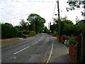
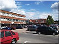
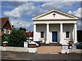
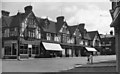
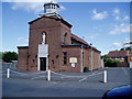
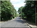
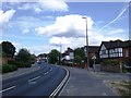
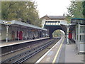
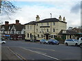
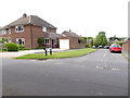
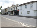
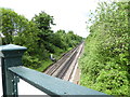
80 photos from this area
Area Information
Key information about the RH15 9HF including its size, population, and administrative classification.
- Area Type
- Postcode
- Area Size
- 9257 m²
- Population
- 1416
- Population Density
- 2162 people/km²
House Prices in RH15 9HF
24
Properties
£296,893
Average Sold Price
£71,950
Lowest Price
£422,000
Highest Price
Showing 24 properties
| Address | Type | Beds | Baths | Last Sale Price | Last Sale Date | |
|---|---|---|---|---|---|---|
| 163 Chanctonbury Road, Burgess Hill, RH15 9HF | house | - | - | £422,000 | Jul 2023 | |
| 185 Chanctonbury Road, Burgess Hill, RH15 9HF | house | - | - | £412,000 | Sep 2022 | |
| 161 Chanctonbury Road, Burgess Hill, RH15 9HF | house | - | - | £315,000 | Feb 2020 | |
| 155 Chanctonbury Road, Burgess Hill, RH15 9HF | Semi-detached | 3 | 1 | £358,000 | Nov 2019 | |
| 187 Chanctonbury Road, Burgess Hill, RH15 9HF | house | - | - | £345,000 | Aug 2019 | |
| 183 Chanctonbury Road, Burgess Hill, RH15 9HF | house | - | - | £353,500 | Apr 2019 | |
| 167 Chanctonbury Road, Burgess Hill, RH15 9HF | house | - | - | £350,000 | Jan 2017 | |
| 175 Chanctonbury Road, Burgess Hill, RH15 9HF | Semi-detached | 3 | - | £320,000 | Sep 2016 | |
| 189 Chanctonbury Road, Burgess Hill, RH15 9HF | Detached | 3 | 2 | £315,000 | Jan 2016 | |
| 199 Chanctonbury Road, Burgess Hill, RH15 9HF | house | - | - | £295,000 | Sep 2015 |
Page 1 of 3
Energy Efficiency in RH15 9HF
Amenities
Schools
| Rank | School | Type | Entry gender | Ages |
|---|
Explore more schools in this area
Go to Schools tabDemographics
Household Size
Two person
most common
Accommodation Type
Houses
most common
Tenure
94
majority
Ethnic Group
White
most common
Religion
N/A
most common
Household Composition
N/A
most common
Age
47
median
Adults (30-64 years)
most common
Household Deprivation
N/A
with no deprivation
NS-SEC
38
in Lower managerial occupations
Explore more demographic insights in this area
Go to Demographics tabPlanning
Planning Constraints
- Flood RiskPremium
- Ramsar Wetland SitesPremium
- Area of Outstanding Natural BeautyPremium
- Protected Nature ReservePremium
- Protected WoodlandPremium