Area Overview for RH15 9EX
Photos of RH15 9EX
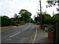
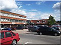
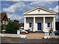
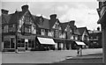
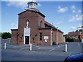
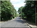
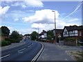
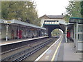
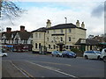
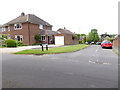
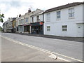
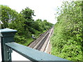
80 photos from this area
Area Information
Key information about the RH15 9EX including its size, population, and administrative classification.
- Area Type
- Postcode
- Area Size
- 4.3 hectares
- Population
- 1773
- Population Density
- 4826 people/km²
House Prices in RH15 9EX
40
Properties
£286,809
Average Sold Price
£73,950
Lowest Price
£465,000
Highest Price
Showing 40 properties
| Address | Type | Beds | Baths | Last Sale Price | Last Sale Date | |
|---|---|---|---|---|---|---|
| 5 Chanctonbury Road, Burgess Hill, RH15 9EX | house | - | - | £465,000 | Aug 2025 | |
| 23 Chanctonbury Road, Burgess Hill, RH15 9EX | Semi-detached | 3 | 2 | £420,000 | Aug 2025 | |
| 67 Chanctonbury Road, Burgess Hill, RH15 9EX | house | 3 | - | £461,000 | Jun 2024 | |
| 61 Chanctonbury Road, Burgess Hill, RH15 9EX | Semi-detached | 3 | 1 | £370,000 | May 2024 | |
| 65 Chanctonbury Road, Burgess Hill, RH15 9EX | house | - | - | £427,500 | Apr 2022 | |
| 45 Chanctonbury Road, Burgess Hill, RH15 9EX | house | - | - | £392,000 | Oct 2021 | |
| 19 Chanctonbury Road, Burgess Hill, RH15 9EX | house | 3 | - | £351,500 | Oct 2020 | |
| 75A Chanctonbury Road, Burgess Hill, RH15 9EX | Terraced | 4 | 1 | £352,000 | Jul 2020 | |
| 35 Chanctonbury Road, Burgess Hill, RH15 9EX | Semi-detached | 3 | 1 | £345,500 | Nov 2017 | |
| 41 Chanctonbury Road, Burgess Hill, RH15 9EX | house | - | - | £348,000 | Jun 2017 |
Page 1 of 4
Energy Efficiency in RH15 9EX
Amenities
Schools
| Rank | School | Type | Entry gender | Ages |
|---|
Explore more schools in this area
Go to Schools tabDemographics
Household Size
One person
most common
Accommodation Type
Flats
most common
Tenure
47
majority
Ethnic Group
White
most common
Religion
N/A
most common
Household Composition
N/A
most common
Age
47
median
Adults (30-64 years)
most common
Household Deprivation
N/A
with no deprivation
NS-SEC
38
in Lower managerial occupations
Explore more demographic insights in this area
Go to Demographics tabPlanning
Planning Constraints
- Flood RiskPremium
- Ramsar Wetland SitesPremium
- Area of Outstanding Natural BeautyPremium
- Protected Nature ReservePremium
- Protected WoodlandPremium