Area Overview for RH15 9AS
Photos of RH15 9AS
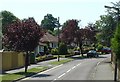
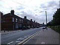
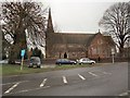
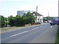
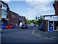
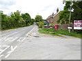
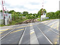
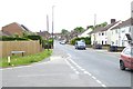
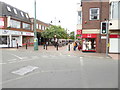

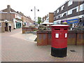
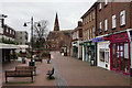
80 photos from this area
Area Information
Key information about the RH15 9AS including its size, population, and administrative classification.
- Area Type
- Postcode
- Area Size
- 8345 m²
- Population
- 1773
- Population Density
- 4826 people/km²
House Prices in RH15 9AS
24
Properties
£204,900
Average Sold Price
£149,000
Lowest Price
£225,000
Highest Price
Showing 24 properties
| Address | Type | Beds | Baths | Last Sale Price | Last Sale Date | |
|---|---|---|---|---|---|---|
| 90A Church Walk, Burgess Hill, RH15 9AS | Maisonette | 2 | 1 | £225,000 | Mar 2025 | |
| 84A Church Walk, Burgess Hill, RH15 9AS | Maisonette | - | - | £217,500 | Nov 2024 | |
| 92A Church Walk, Burgess Hill, RH15 9AS | Maisonette | - | - | £225,000 | Feb 2018 | |
| 80A Church Walk, Burgess Hill, RH15 9AS | Maisonette | - | - | £208,000 | Jan 2018 | |
| 76A Church Walk, Burgess Hill, RH15 9AS | Flat | 2 | 1 | £149,000 | Oct 2015 | |
| 72A Church Walk, Burgess Hill, RH15 9AS | Retail | - | - | - | - | |
| Recycling Centre, Crescent Way, Burgess Hill, RH15 9AS | commercial | - | - | - | - | |
| Flat 1, 94A Church Walk, Burgess Hill, RH15 9AS | Flat | - | - | - | - | |
| Flat 3, 94A Church Walk, Burgess Hill, RH15 9AS | Flat | 2 | 1 | - | - | |
| Flat 2, 94A Church Walk, Burgess Hill, RH15 9AS | Flat | - | - | - | - |
Page 1 of 3
Energy Efficiency in RH15 9AS
Amenities
Schools
| Rank | School | Type | Entry gender | Ages |
|---|
Explore more schools in this area
Go to Schools tabDemographics
Household Size
One person
most common
Accommodation Type
Flats
most common
Tenure
47
majority
Ethnic Group
White
most common
Religion
N/A
most common
Household Composition
N/A
most common
Age
47
median
Adults (30-64 years)
most common
Household Deprivation
N/A
with no deprivation
NS-SEC
38
in Lower managerial occupations
Explore more demographic insights in this area
Go to Demographics tabPlanning
Planning Constraints
- Flood RiskPremium
- Ramsar Wetland SitesPremium
- Area of Outstanding Natural BeautyPremium
- Protected Nature ReservePremium
- Protected WoodlandPremium