Area Overview for RH15 8UP
Photos of RH15 8UP
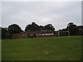
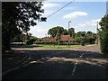
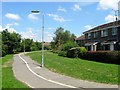
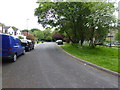
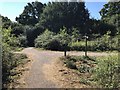
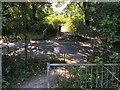
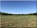
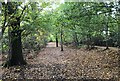
57 photos from this area
Area Information
Key information about the RH15 8UP including its size, population, and administrative classification.
- Area Type
- Postcode
- Area Size
- 1.2 hectares
- Population
- 1937
- Population Density
- 6670 people/km²
House Prices in RH15 8UP
22
Properties
£373,948
Average Sold Price
£127,000
Lowest Price
£650,000
Highest Price
Showing 22 properties
| Address | Type | Beds | Baths | Last Sale Price | Last Sale Date | |
|---|---|---|---|---|---|---|
| 22 Baylis Crescent, Burgess Hill, RH15 8UP | Detached | 4 | 3 | £650,000 | Oct 2025 | |
| 21 Baylis Crescent, Burgess Hill, RH15 8UP | Detached | 4 | 2 | £640,000 | Sep 2025 | |
| 20 Baylis Crescent, Burgess Hill, RH15 8UP | Detached | 4 | 3 | £625,000 | Feb 2024 | |
| 8 Baylis Crescent, Burgess Hill, RH15 8UP | house | - | - | £550,000 | Feb 2021 | |
| 2 Baylis Crescent, Burgess Hill, RH15 8UP | Detached | 4 | 2 | £482,500 | Mar 2020 | |
| 19 Baylis Crescent, Burgess Hill, RH15 8UP | Detached | 4 | 2 | £485,000 | Dec 2017 | |
| 9 Baylis Crescent, Burgess Hill, RH15 8UP | house | - | - | £564,000 | Nov 2016 | |
| 12 Baylis Crescent, Burgess Hill, RH15 8UP | Detached | 4 | 2 | £427,500 | Nov 2015 | |
| 7 Baylis Crescent, Burgess Hill, RH15 8UP | Detached | 4 | 2 | £450,000 | Apr 2014 | |
| 5 Baylis Crescent, Burgess Hill, RH15 8UP | house | 4 | - | £355,000 | May 2012 |
Page 1 of 3
Energy Efficiency in RH15 8UP
Amenities
Schools
| Rank | School | Type | Entry gender | Ages |
|---|
Explore more schools in this area
Go to Schools tabDemographics
Household Size
Family (3-5 people)
most common
Accommodation Type
Houses
most common
Tenure
72
majority
Ethnic Group
White
most common
Religion
N/A
most common
Household Composition
N/A
most common
Age
47
median
Adults (30-64 years)
most common
Household Deprivation
N/A
with no deprivation
NS-SEC
36
in Lower managerial occupations
Explore more demographic insights in this area
Go to Demographics tabPlanning
Planning Constraints
- Flood RiskPremium
- Ramsar Wetland SitesPremium
- Area of Outstanding Natural BeautyPremium
- Protected Nature ReservePremium
- Protected WoodlandPremium