Area Overview for RH15 8NY
Photos of RH15 8NY
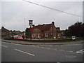
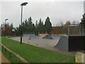
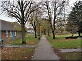
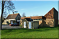
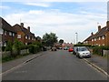
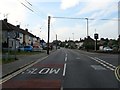
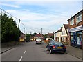
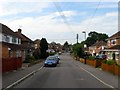
40 photos from this area
Area Information
Key information about the RH15 8NY including its size, population, and administrative classification.
- Area Type
- Postcode
- Area Size
- 1.0 hectares
- Population
- 1173
- Population Density
- 4127 people/km²
House Prices in RH15 8NY
42
Properties
£245,952
Average Sold Price
£105,000
Lowest Price
£310,000
Highest Price
Showing 42 properties
| Address | Type | Beds | Baths | Last Sale Price | Last Sale Date | |
|---|---|---|---|---|---|---|
| 51 West Street, Burgess Hill, RH15 8NY | Semi-detached | 2 | 1 | £292,000 | Nov 2024 | |
| 81 West Street, Burgess Hill, RH15 8NY | Terraced | 2 | 1 | £255,000 | Sep 2024 | |
| 61 West Street, Burgess Hill, RH15 8NY | Terraced | 2 | 1 | £303,000 | Aug 2024 | |
| 59 West Street, Burgess Hill, RH15 8NY | Terraced | 2 | 1 | £308,000 | Feb 2023 | |
| 83 West Street, Burgess Hill, RH15 8NY | Terraced | 2 | 1 | £245,000 | Oct 2021 | |
| 65 West Street, Burgess Hill, RH15 8NY | Terraced | 2 | 1 | £305,000 | May 2021 | |
| 85 West Street, Burgess Hill, RH15 8NY | house | - | - | £240,000 | May 2021 | |
| 79 West Street, Burgess Hill, RH15 8NY | house | - | - | £265,000 | Mar 2021 | |
| 67 West Street, Burgess Hill, RH15 8NY | house | - | - | £242,500 | Aug 2020 | |
| 41 West Street, Burgess Hill, RH15 8NY | house | - | - | £310,000 | Jun 2018 |
Page 1 of 5
Energy Efficiency in RH15 8NY
Amenities
Schools
| Rank | School | Type | Entry gender | Ages |
|---|
Explore more schools in this area
Go to Schools tabDemographics
Household Size
Family (3-5 people)
most common
Accommodation Type
Houses
most common
Tenure
56
majority
Ethnic Group
White
most common
Religion
N/A
most common
Household Composition
N/A
most common
Age
47
median
Adults (30-64 years)
most common
Household Deprivation
N/A
with no deprivation
NS-SEC
26
in Lower managerial occupations
Explore more demographic insights in this area
Go to Demographics tabPlanning
Planning Constraints
- Flood RiskPremium
- Ramsar Wetland SitesPremium
- Area of Outstanding Natural BeautyPremium
- Protected Nature ReservePremium
- Protected WoodlandPremium