Area Overview for RH15 8JN
Photos of RH15 8JN
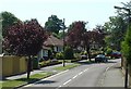
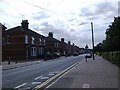
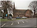
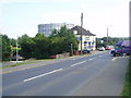
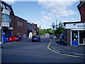
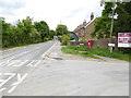
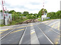
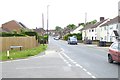
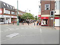

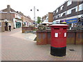
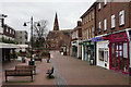
80 photos from this area
Area Information
Key information about the RH15 8JN including its size, population, and administrative classification.
- Area Type
- Postcode
- Area Size
- 1.2 hectares
- Population
- 1475
- Population Density
- 3928 people/km²
House Prices in RH15 8JN
16
Properties
£325,667
Average Sold Price
£187,500
Lowest Price
£432,500
Highest Price
Showing 16 properties
| Address | Type | Beds | Baths | Last Sale Price | Last Sale Date | |
|---|---|---|---|---|---|---|
| 31 St Peters Road, Burgess Hill, RH15 8JN | Bungalow | - | - | £360,000 | Apr 2021 | |
| 53 St Peters Road, Burgess Hill, RH15 8JN | Detached | 3 | - | £432,500 | Jul 2020 | |
| 41 St Peters Road, Burgess Hill, RH15 8JN | Semi-detached | 2 | 1 | £348,000 | Jan 2018 | |
| 27 St Peters Road, Burgess Hill, RH15 8JN | Bungalow | - | - | £370,000 | Jan 2017 | |
| 25 St Peters Road, Burgess Hill, RH15 8JN | Semi-detached | 2 | - | £360,000 | Jun 2016 | |
| 23 St Peters Road, Burgess Hill, RH15 8JN | Bungalow | - | - | £332,000 | Oct 2014 | |
| 49 St Peters Road, Burgess Hill, RH15 8JN | house | 4 | - | £388,000 | Nov 2013 | |
| 29 St Peters Road, Burgess Hill, RH15 8JN | Bungalow | 2 | 1 | £260,000 | Mar 2013 | |
| 33 St Peters Road, Burgess Hill, RH15 8JN | Semi-detached | 2 | - | £240,000 | Jul 2012 | |
| 51 St Peters Road, Burgess Hill, RH15 8JN | Detached | 3 | - | £310,000 | Jul 2012 |
Page 1 of 2
Energy Efficiency in RH15 8JN
Amenities
Schools
| Rank | School | Type | Entry gender | Ages |
|---|
Explore more schools in this area
Go to Schools tabDemographics
Household Size
Two person
most common
Accommodation Type
Houses
most common
Tenure
83
majority
Ethnic Group
White
most common
Religion
N/A
most common
Household Composition
N/A
most common
Age
47
median
Adults (30-64 years)
most common
Household Deprivation
N/A
with no deprivation
NS-SEC
39
in Lower managerial occupations
Explore more demographic insights in this area
Go to Demographics tabPlanning
Planning Constraints
- Flood RiskPremium
- Ramsar Wetland SitesPremium
- Area of Outstanding Natural BeautyPremium
- Protected Nature ReservePremium
- Protected WoodlandPremium