Area Overview for RH15 8HG
Photos of RH15 8HG
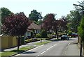
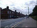
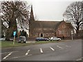
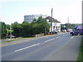
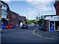
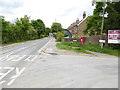
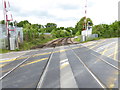
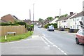
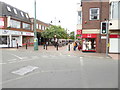

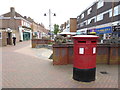
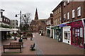
80 photos from this area
Area Information
Key information about the RH15 8HG including its size, population, and administrative classification.
- Area Type
- Postcode
- Area Size
- 1.5 hectares
- Population
- 1770
- Population Density
- 3349 people/km²
House Prices in RH15 8HG
21
Properties
£507,385
Average Sold Price
£140,000
Lowest Price
£975,000
Highest Price
Showing 21 properties
| Address | Type | Beds | Baths | Last Sale Price | Last Sale Date | |
|---|---|---|---|---|---|---|
| 80 Park Road, Burgess Hill, RH15 8HG | Detached | 4 | 1 | £705,000 | Mar 2025 | |
| 96 Park Road, Burgess Hill, RH15 8HG | house | - | - | £565,000 | May 2023 | |
| 82 Park Road, Burgess Hill, RH15 8HG | house | 3 | 1 | £445,000 | Oct 2019 | |
| Providence House, 76 Park Road, Burgess Hill, RH15 8HG | house | - | - | £975,000 | Oct 2013 | |
| Southview, 94 Park Road, Burgess Hill, RH15 8HG | house | - | - | £400,000 | Apr 2013 | |
| Park View, 78A Park Road, Burgess Hill, RH15 8HG | Semi-detached | - | - | £637,500 | Mar 2013 | |
| 86 Park Road, Burgess Hill, RH15 8HG | Detached | - | - | £535,000 | Nov 2012 | |
| 78 Park Road, Burgess Hill, RH15 8HG | house | 9 | - | £705,000 | Jan 2012 | |
| 84 Park Road, Burgess Hill, RH15 8HG | house | - | - | £330,000 | Aug 2011 | |
| 70 Park Road, Burgess Hill, RH15 8HG | Detached | 4 | 3 | £445,000 | Nov 2006 |
Page 1 of 3
Energy Efficiency in RH15 8HG
Amenities
Schools
| Rank | School | Type | Entry gender | Ages |
|---|
Explore more schools in this area
Go to Schools tabDemographics
Household Size
One person
most common
Accommodation Type
Houses
most common
Tenure
61
majority
Ethnic Group
White
most common
Religion
N/A
most common
Household Composition
N/A
most common
Age
47
median
Adults (30-64 years)
most common
Household Deprivation
N/A
with no deprivation
NS-SEC
38
in Lower managerial occupations
Explore more demographic insights in this area
Go to Demographics tabPlanning
Planning Constraints
- Flood RiskPremium
- Ramsar Wetland SitesPremium
- Area of Outstanding Natural BeautyPremium
- Protected Nature ReservePremium
- Protected WoodlandPremium