Area Overview for RH15 8BW
Photos of RH15 8BW
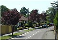
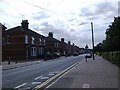
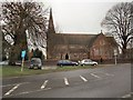
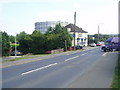
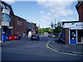
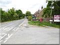
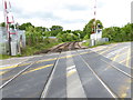
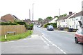
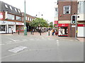

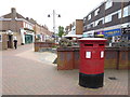
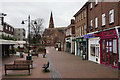
80 photos from this area
Area Information
Key information about the RH15 8BW including its size, population, and administrative classification.
- Area Type
- Postcode
- Area Size
- 2.5 hectares
- Population
- 1681
- Population Density
- 3286 people/km²
House Prices in RH15 8BW
18
Properties
£301,579
Average Sold Price
£139,000
Lowest Price
£480,000
Highest Price
Showing 18 properties
| Address | Type | Beds | Baths | Last Sale Price | Last Sale Date | |
|---|---|---|---|---|---|---|
| 19 Noel Rise, Burgess Hill, RH15 8BW | Chalet | 4 | 2 | £480,000 | Nov 2024 | |
| 27 Noel Rise, Burgess Hill, RH15 8BW | Bungalow | - | - | £290,000 | Feb 2021 | |
| 9 Noel Rise, Burgess Hill, RH15 8BW | Bungalow | - | - | £325,000 | Sep 2018 | |
| 17 Noel Rise, Burgess Hill, RH15 8BW | Bungalow | - | - | £360,000 | Aug 2018 | |
| 31 Noel Rise, Burgess Hill, RH15 8BW | house | - | - | £300,000 | Feb 2018 | |
| 21 Noel Rise, Burgess Hill, RH15 8BW | Semi-detached | 4 | 3 | £345,000 | Feb 2018 | |
| 33 Noel Rise, Burgess Hill, RH15 8BW | Bungalow | 3 | 2 | £330,000 | Oct 2017 | |
| 7 Noel Rise, Burgess Hill, RH15 8BW | Detached | 4 | 2 | £435,000 | Feb 2016 | |
| 25 Noel Rise, Burgess Hill, RH15 8BW | Bungalow | - | - | £215,000 | Aug 2010 | |
| 11 Noel Rise, Burgess Hill, RH15 8BW | Detached | 2 | - | £250,000 | Jan 2008 |
Page 1 of 2
Energy Efficiency in RH15 8BW
Amenities
Schools
| Rank | School | Type | Entry gender | Ages |
|---|
Explore more schools in this area
Go to Schools tabDemographics
Household Size
Two person
most common
Accommodation Type
Houses
most common
Tenure
86
majority
Ethnic Group
White
most common
Religion
N/A
most common
Household Composition
N/A
most common
Age
47
median
Adults (30-64 years)
most common
Household Deprivation
N/A
with no deprivation
NS-SEC
39
in Lower managerial occupations
Explore more demographic insights in this area
Go to Demographics tabPlanning
Planning Constraints
- Flood RiskPremium
- Ramsar Wetland SitesPremium
- Area of Outstanding Natural BeautyPremium
- Protected Nature ReservePremium
- Protected WoodlandPremium