Area Overview for RH15 0UX
Photos of RH15 0UX
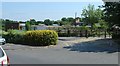
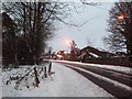
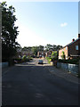
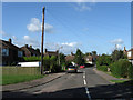
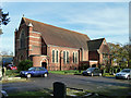
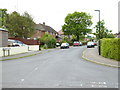
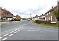
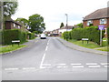
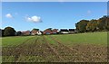
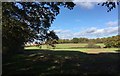
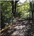
37 photos from this area
Area Information
Key information about the RH15 0UX including its size, population, and administrative classification.
- Area Type
- Postcode
- Area Size
- 2.0 hectares
- Population
- 1713
- Population Density
- 2586 people/km²
House Prices in RH15 0UX
24
Properties
£405,846
Average Sold Price
£305,950
Lowest Price
£676,781
Highest Price
Showing 24 properties
| Address | Type | Beds | Baths | Last Sale Price | Last Sale Date | |
|---|---|---|---|---|---|---|
| 26 Phoenix Rise, Burgess Hill, RH15 0UX | house | - | - | £435,000 | May 2024 | |
| 22 Phoenix Rise, Burgess Hill, RH15 0UX | Detached | 3 | 2 | £468,000 | Nov 2023 | |
| 46 Phoenix Rise, Burgess Hill, RH15 0UX | house | - | - | £307,950 | Dec 2016 | |
| 48 Phoenix Rise, Burgess Hill, RH15 0UX | Detached | 4 | 2 | £306,950 | Dec 2016 | |
| 38 Phoenix Rise, Burgess Hill, RH15 0UX | house | - | - | £397,950 | Dec 2016 | |
| 44 Phoenix Rise, Burgess Hill, RH15 0UX | house | - | - | £306,950 | Dec 2016 | |
| 28 Phoenix Rise, Burgess Hill, RH15 0UX | Detached | 3 | 2 | £369,950 | Dec 2016 | |
| 42 Phoenix Rise, Burgess Hill, RH15 0UX | house | - | - | £305,950 | Dec 2016 | |
| 40 Phoenix Rise, Burgess Hill, RH15 0UX | house | - | - | £397,950 | Dec 2016 | |
| 30 Phoenix Rise, Burgess Hill, RH15 0UX | house | - | - | £374,950 | Oct 2016 |
Page 1 of 3
Energy Efficiency in RH15 0UX
Amenities
Schools
| Rank | School | Type | Entry gender | Ages |
|---|
Explore more schools in this area
Go to Schools tabDemographics
Household Size
Family (3-5 people)
most common
Accommodation Type
Houses
most common
Tenure
80
majority
Ethnic Group
White
most common
Religion
N/A
most common
Household Composition
N/A
most common
Age
47
median
Adults (30-64 years)
most common
Household Deprivation
N/A
with no deprivation
NS-SEC
50
in Lower managerial occupations
Explore more demographic insights in this area
Go to Demographics tabPlanning
Planning Constraints
- Flood RiskPremium
- Ramsar Wetland SitesPremium
- Area of Outstanding Natural BeautyPremium
- Protected Nature ReservePremium
- Protected WoodlandPremium